Lothian, John
£1,100
Rare Books, Manuscripts, Maps & Photography | 483
Auction: 11 January 2017 at 11:00 GMT
Description
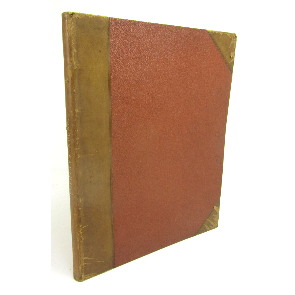
Lothian's County Atlas of Scotland. Edinburgh: J. Lothian, Glasgow: Jackson & Cowan; London: J. Duncan, 1826 [-1829]. 4to., 2 parts in one volume, engraved title, frontispiece (dated 1829), and 33 engraved maps hand-coloured in outline (most maps undated, 5 dated 1827, 1 dated 1828), lacking the General Map of Scotland; the Second part comprising Lothian's Historical Atlas of Scotland. Edinburgh, J. Lothian, 1829, comprising engraved title and engraved maps numbered 34-41 (one map incorrectly numbered 37 instead of 36), hand-coloured in outline, late 19th or early 20th century half calf, several marginal tears to text, a little light dust-soiling
Footnote
Note: John Lothian's very rare County Atlas. The first edition was published in 1826-27, with the title dated 1826 and the maps dated 1827. The second edition was published in 1829, and this edition included for the first time the 8 historical maps (34/35 on one sheet, 36 - incorrectly numbered 37 - double-page, 37/38 on one sheet, 39 double-page, 40, & 41), preceded by its own engraved title: "Lothian's Historical Atlas of Scotland". 1829.