Lot 116
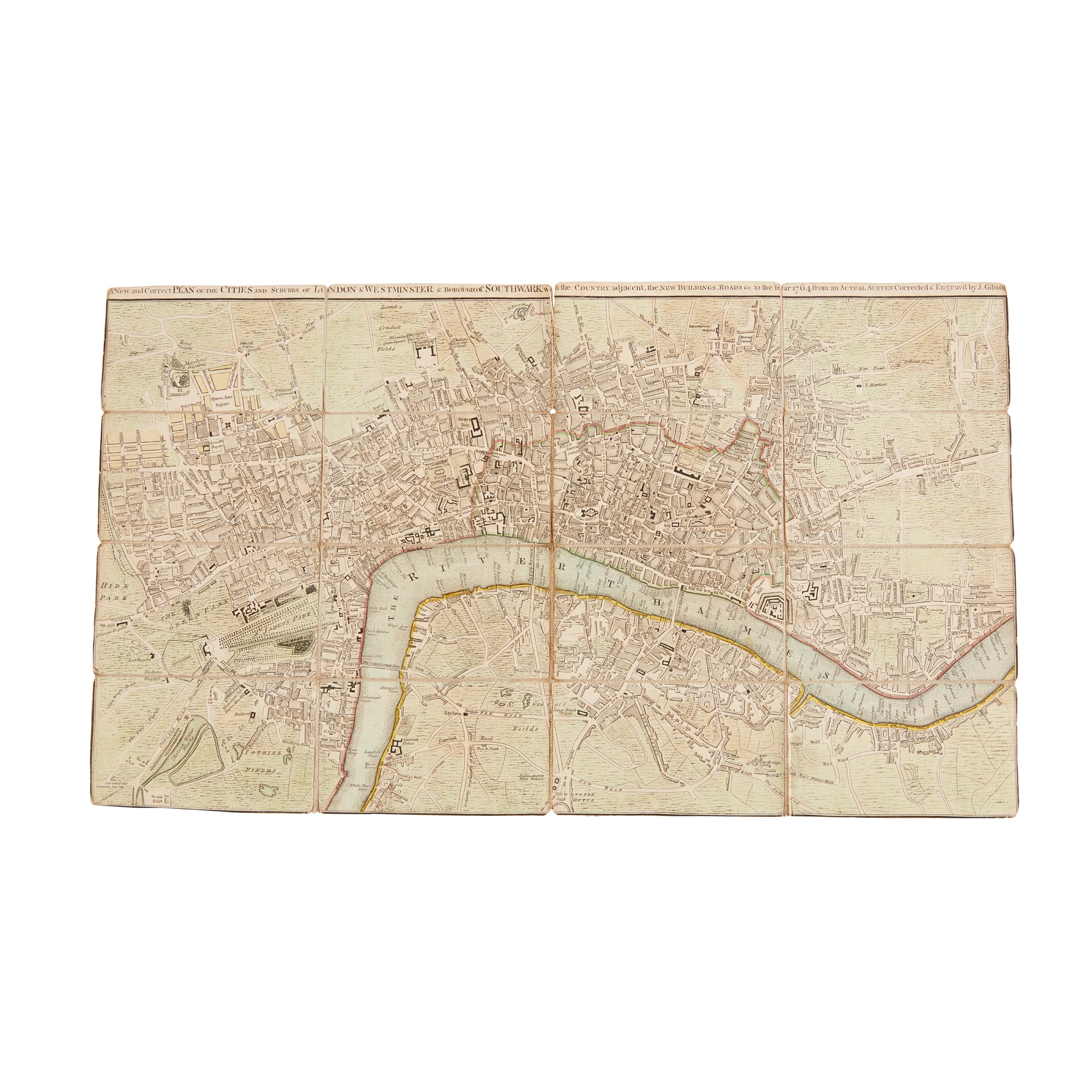
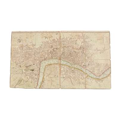
Gibson, John
A New and Correct Plan of Cities of London and Westminster
Rare Books, Manuscripts, Maps & Photographs
Auction: 07 February 2024 from 10:00 GMT
Description
and Borough of Southwark with the Country Adjacent, the New Buildings, Roads etc to the Year 1764, from an Actual Survey. [London: Robert Sayer], 1764. Engraved map with contemporary hand-colouring, 29.2 x 50.6cm, sectionalised and laid on linen, housed in contemporary marbled paper slipcase with manuscript label, trimmed to neatline along bottom edge cropping imprint, linen splitting at top of central fold;
W. H. Smith & Son. New Plan of London, c.1869. Lithographic map in colours, 58 x 86cm, sectionalised and laid on linen, folding into original cloth covers, toning, loss at intersection of panels next to Kensal Green;
Knox, James. Plan of Edinburgh and its Environs. Edinburgh: John Fairbairn and John Anderson, 1824. Engraved map, 51 x 62, folding into original card covers with engraved label to front, matching slipcase;
Enouy, Joseph. A New Map of Scotland, compiled from Actual Surveys, and regulated by the latest Astronomical Observations. London: Richard H. Laurie, 1821. Hand-coloured engraved map, 65 x 51cm, sectionalised and laid on linen, slipcase;
and 16 other folding maps, Scotland and Edinburgh, 19th-early 20th century
(20)