Lot 13

Scotland
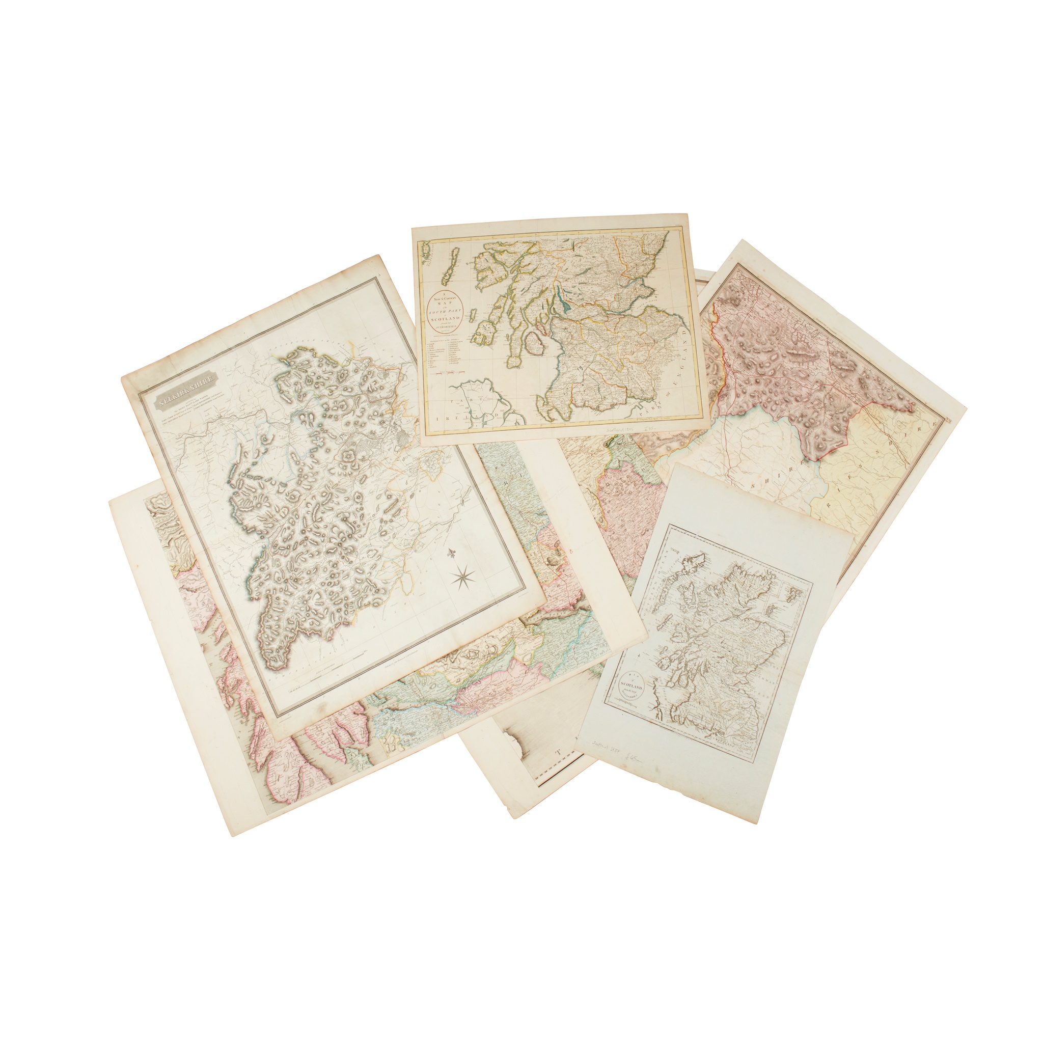
16 maps of Scotland and its regions


Rare Books, Manuscripts, Maps & Photographs
Auction: 21 September 2023 at 10:00 BST
Description
Nouvelle Carte d'Ecosse, ou on fait observer l'Etat de la Noblesse..., 55 x 42.5cm, left margin repaired;
Johnson, William. Northern Part of Ayrshire, compiled from estate plans &c. Edinburgh: John Thomson, 1828, 72 x 54.5cm, hand-coloured in outline, some offsetting; [and] Southern Part of Ayrshire, some offsetting;
Sanson, Nicholas. Carte Generale des Royaume [sic.] d'Angleterre. Ecosse et Irlande, Paris, 1640 [but probably a later re-strike or copy], 42.5 x 54.5, hand-coloured;
Map of Scotland from the latest DIscoveries. London: J. Harrison, 1787, 35 x 54.5cm, crude join to reverse;
Cary, John. A New & Correct Map of the South Part of Scotland, from the best Authorities. London: John Stockdale, 1805, 54.5 x 42.5cm, hand-coloured in outline;
[Stockdale. Part of Argyll, n.p., n.d., 19th century], 82 x 64cm, hand-coloured; [and] [Part of South-West Scotland, with Arran];
Thomson, John. Selkirkshire. Edinburgh, 1824, 73 x 54.5cm, hand-coloured in outline, some light dust-soiling;
and 8 others

