Lot 12
Scotland
Collection of engraved maps, 17th and 18th century
Rare Books, Manuscripts, Maps & Photographs
Auction: 21 September 2023 at 10:00 BST
Description
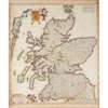
[Blaeu, William Janszoon]. Scotia Regnum. Amsterdam, c.1650. 50 x 59.5cm, German text on verso, a few closed tears, old repairs;
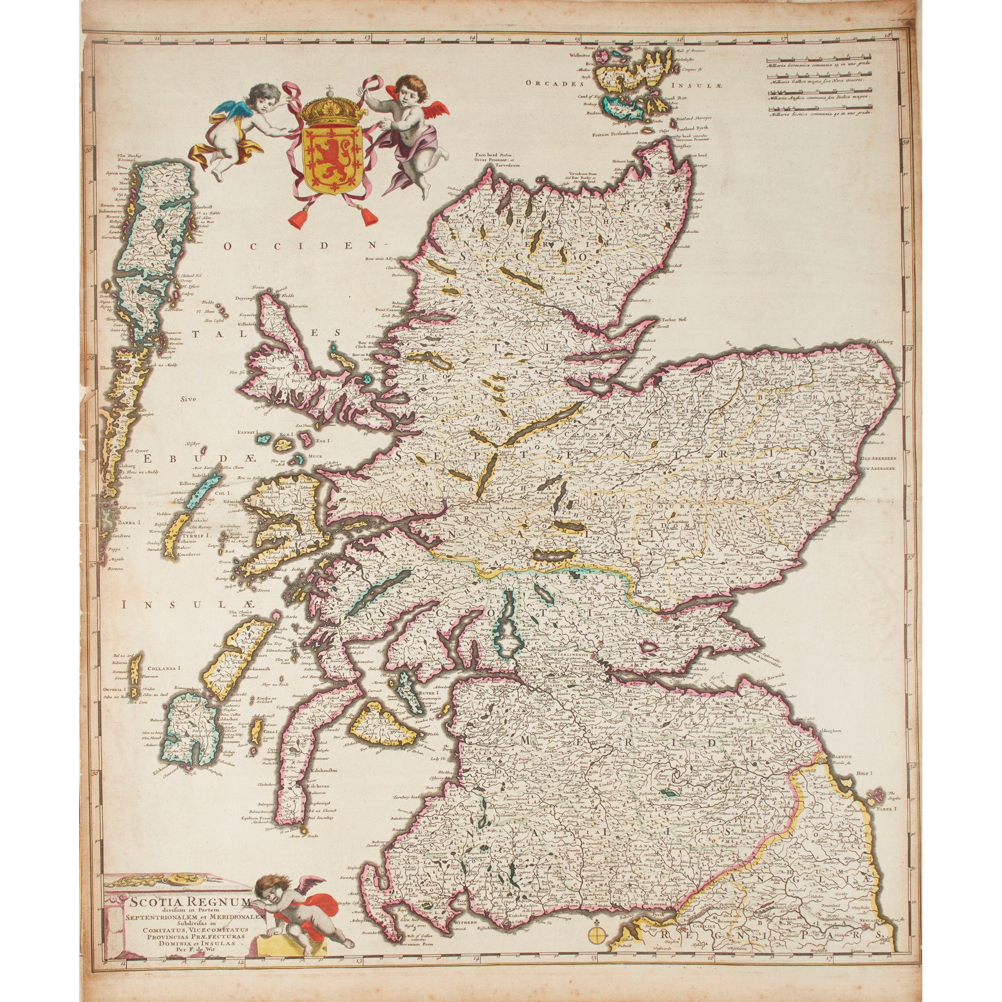
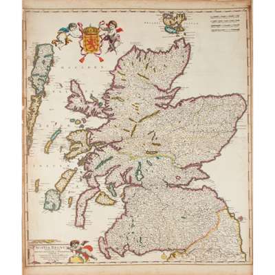
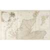
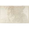
Wit, Frederik de. Scotia Regnum. [Amsterdam], c.1690. 2 copies: one 61 x 93cm, hand-coloured in outline, with letterpress tables conjoined to sides, browning, light soiling, small repair to foot; the other 61 x 52cm, without the conjoined letterpress tables, hand-coloured, somewhat browned, old paper reinforcement along left edge;
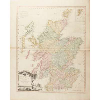
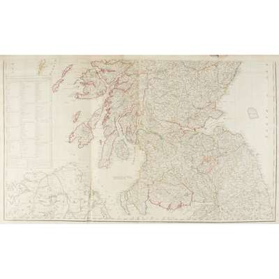
Kitchin, Thomas. North Britain or Scotland divided into its Counties. London: William Faden, 1778. 77 x 62.5cm, hand-coloured, decorative title cartouche, old linen reinforcement to head and foot of central fold verso;
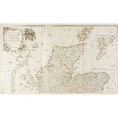
Idem. A New and Complete Map of Scotland and Islands thereto belonging. London, c.1775. 2 sheets, each approx. 62 x 105 cm, hand-coloured in outline, large decorative cartouche and inset map of Shetland, south sheet with old repairs verso;
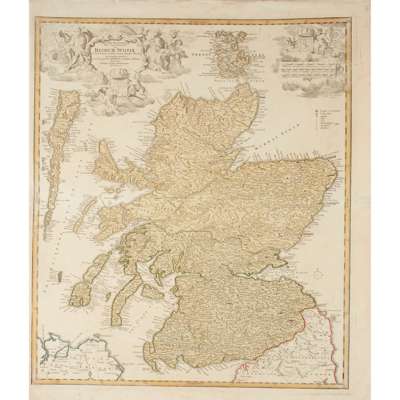
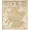
Allard, Carel. Novissima Regni Scotiae Septentrionalis et Meridionalis Tabula. Amsterdam, c.1700. 53.5 x 62cm, hand-coloured, decorative title and dedication cartouches, toning;
Homann, Johann Baptist. Magnae Britanniae Pars Septentrionalis. Nuremberg, c.1720. 63 x 53cm, hand-coloured, decorative title and mileage cartouches, toning;
Visscher, Nicolaus. Exactissima Regni Scotiae Tabula. [Amsterdam:] P. Schenk Junior, c.1720. 63 x 53cm, hand-coloured, decorative title and mileage cartouches, toning, repairs;
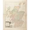
Bowles, Carrington. Bowles's New Pocket Map of Scotland. London, 1788. 68 x 54cm, hand-coloured, spotting along edges;
Johnston, Alexander. A New Map of the North [South] Part of Scotland, c.1720. 2 sheets, each 39 x 47cm;
and 9 others, including duplicates of the south sheets of Kitchin's New and Complete Map, the north sheet of Johnston's map (hand-coloured), 2 maps by Pazzini Carli, 1795, and similar