Lot 14
Scotland
Collection of maps, 18th and 19th century
Rare Books, Manuscripts, Maps & Photographs
Auction: 21 September 2023 at 10:00 BST
Description
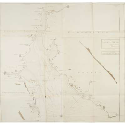
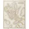
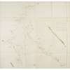
Mackenzie, Murdoch. Four large coastal charts, 1775, engraved, all folding and on multiple sheets, comprising: The Mouth of Solway Firth, London (74 x 135cm, slightly soiled, reinforcements verso); Solway Firth (103 x 107cm, on multiple sheets, folding, reinforcements verso, small hole at one intersection of folds); The West Side of the Island Mull, with the Islands Tiri and Coll (78 x 110cm, toning, fraying along edges); The South Part of Argyle Shire, from the Mule of Cantire to Jura and Ila (115 x 115cm, browning, reinforcement along right-hand edge);
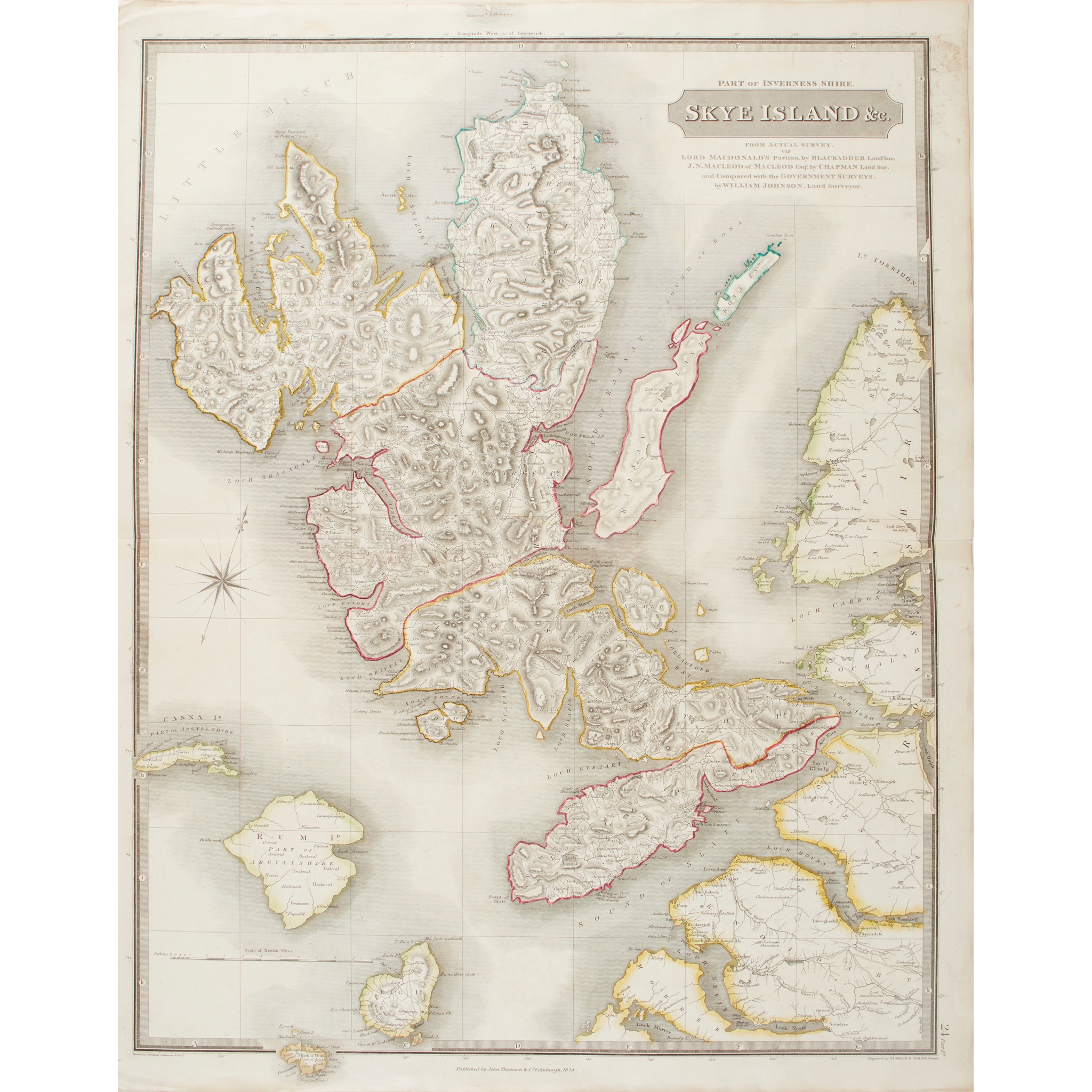
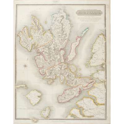
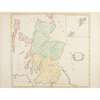
Thomson, James. [Collection of maps from The Atlas of Scotland, 1832]. Engraved, hand-coloured in outline, all folding, most approx. 54 x 70cm (a few on multiple sheets and consequently larger), with inset views, and comprising: Northern Part of Ayrshire (70 x 100cm, repairs verso); Southern Part of Ayrshire (small repair verso); Shetland Islands (2 copies, both with offsetting); Orkney Islands (spotting); Skye Island; Western Isles; Middle Part of the Western Isles; Kincardine Shire; Northern Part of Angusshire; Dumbartonshire; Renfrew-Shire; County of Wigton or Shire of Galloway; Kirkcudbright-Shire (on two conjoined sheets: southern and northern parts, total dimensions approx. 54 x 140cm); Selkirk Shire; Southern Part of Roxburgh Shire (loss to right-hand margin); Northern Part of Roxburgh Shire (loss to left-hand margin evidently where previously attached to preceding map);
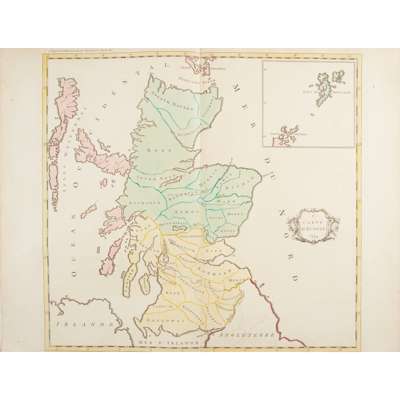
[Palairet, Jean]. 1e Carte d'Ecosse, 1754. Engraved, hand-coloured, folding, 54 x 80cm, decorative title cartouche, inset map of Shetland;
Tirion, Isaak. Nieuwe Kaart van 'tnoorder gedeelte van Grootbritannie behelzende het Koningryk Schotland, c.1750. Engraved, hand-coloured in outline, inset map of Shetland, 40 x 40cm, small stain to lower left corner;
and some 8 other Scottish maps including A. K. Johnston, Plan of the Lands of Invereolan, Inverharnan, and Drimchouhes, Glen Etive, 1832 (laid down), J. Cary, A New and Correct Map of the South Part of Scotland, c.1780; and similar