

Lot 124
![[India] Rennell, James](https://media.app.artisio.co/media/104cbde6-0d38-43cb-9e0f-bb721ef57bcf/inventory/4689a348-df74-47a5-a05f-1db664992538/f69e1af7-b3b8-47a0-b57b-149bb0c7f77b/0000_CfDzTw_original.jpg)
[India] Rennell, James
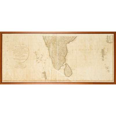
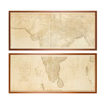
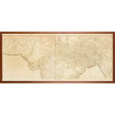
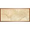
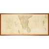
A New Map of Hindoostan
Auction: 16 June 2026 from 10:00 BST
£458
Description
… of the Bengal Provinces, and of the Countries lying between them and Dehly: the whole exhibiting all the Military Roads and Passes, as well as the most Accurate Division of the British Possessions in the East Indies. London: Laurie and Whittle, 1794. First edition, wall-size engraved map on 2 sheets, separately framed and glazed, each sheet approx. 63 x 144cm, browning, old repairs (2)