

Lot 123
Montgomerie, T. G., & others
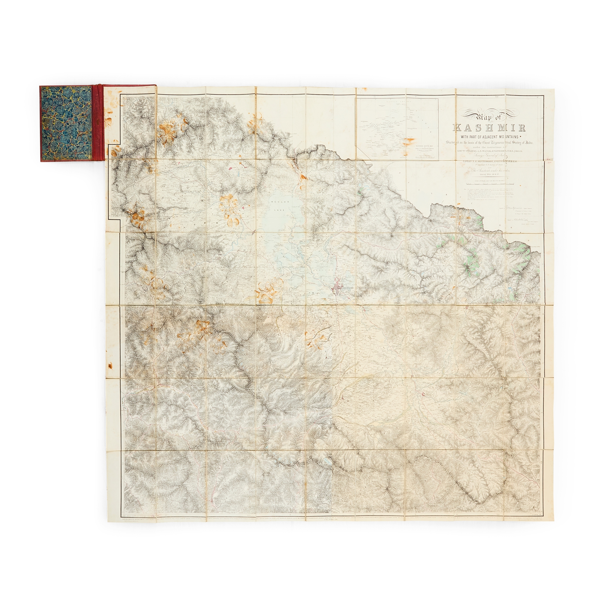
Map of Kashmir
Auction: 16 June 2026 from 10:00 BST
Description
with Part of Adjacent Mountains. Surveyed on the basis of the Great Trigonometrical Survey of India, under the Instructions of Lieut. Colonel A. S. Waugh … Surveyor General of India … during 1855, 56 and 57. Calcutta: Survey of India Offices, [18]91. Photozincographic map after the first edition (Dehra Dun: Surveyor General's Office, 1859), one of 150 copies according to the printer's slug in lower margin, 126.5 x 130cm, original hand-colour, dissected and laid on linen, folding into original cloth case, staining, several panels lifting, binding worn;
together with 8 others, travel and natural history books, including H. L. Nevill, Campaigns on the North-West Frontier, 1912 (first edition, presentation copy, inscribed ‘with best wishes from the author’ on front pastedown above ownership inscription of the recipient Blanche Brooke, dated 1912) original cloth, 5 maps folding in end-pocket), F. O. Morris, A History of British Butterflies, 1895 (eighth edition, green half morocco by Bickers, all colour plates as called for), and similar (10)
Footnote
This new photozincographic issue of Montgomerie's important map of Kashmir was possibly executed for the Account of the Operations of the Great Trigonometrical Survey of India.