

Lot 118
Langlands, George, & Son
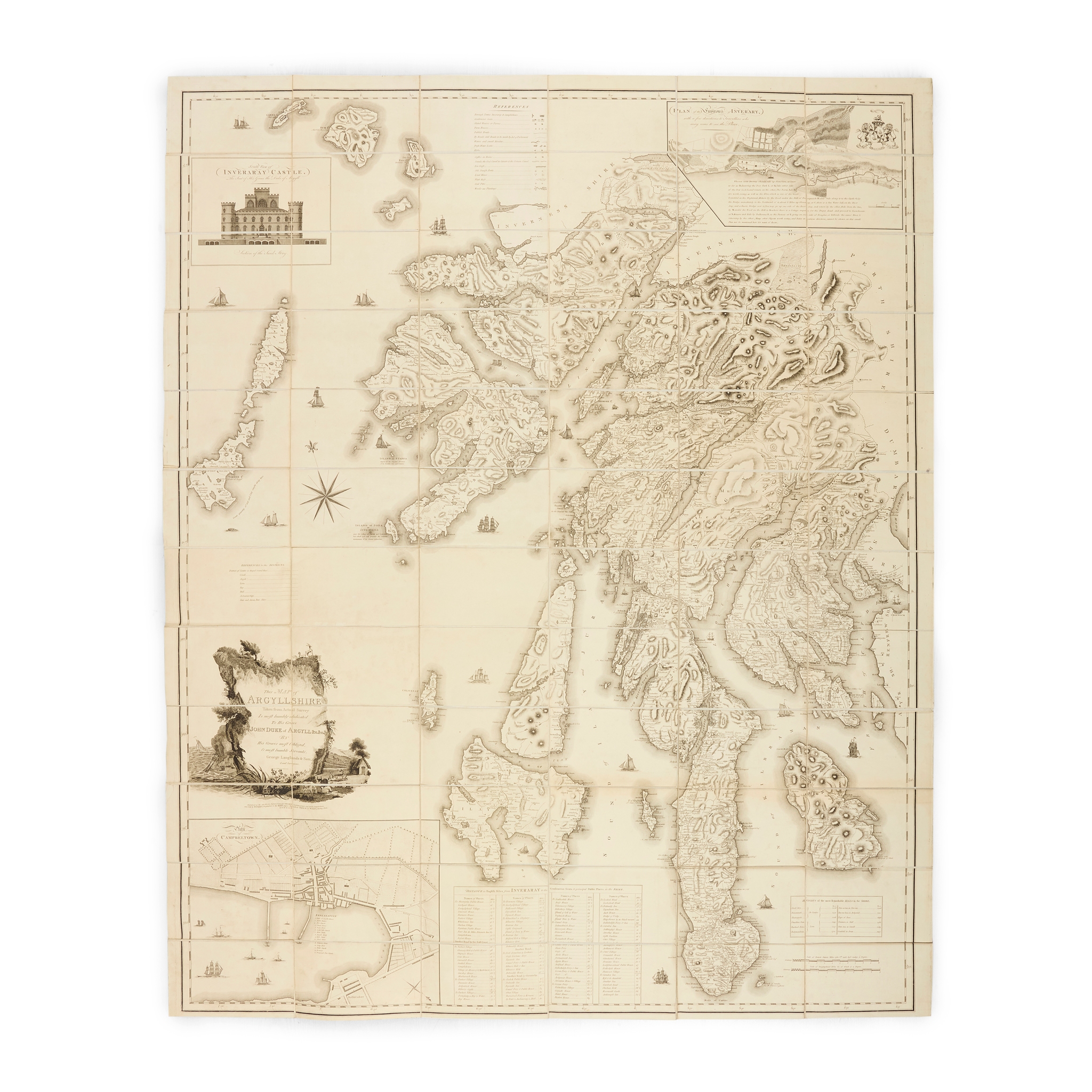
Map of Argyllshire
Auction: 16 June 2026 from 10:00 BST
Description
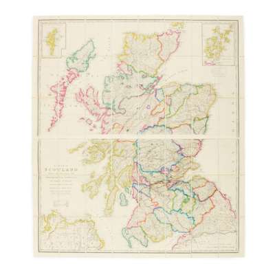
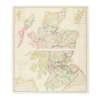
Taken from Actual Survey. Campbeltown: George Langlands and Son, and sold by W. Faden, London, 1801. Large engraved map by S. J. Neele, 153 x 125cm, sectionalised and laid on linen, large allegorical title cartouche incorporating dedication to the Duke of Argyll, inset town plans of Campbeltown and Inveraray, inset view of Inveraray Castle, folding into later cloth slipcase with engraved label of map-seller James Wyld (with ‘Argyleshire' added in manuscript). Together with one other map (James Wyld, A Map of Scotland … from the Topographical Surveys of Mr. John Ainslie and from those the Late General Roy, c.1840, engraved, contemporary outline colour, sectionalised and laid on 2 separate sheets of linen, total dimensions 117 x 101cm, railways completed and under construction marked in black and red respectively, housed in publisher's cloth slipcase) (2)
Footnote
A rich impression of this rare, locally-published map of Argyll, one other copy traced in auction records, and four copies traced in institutional libraries (British Library, National Library of Scotland, Royal Geographical Society, and the University of Oxford).