

Lot 119
Wood, John
[Town Atlas of Scotland]
Auction: 16 June 2026 from 10:00 BST
Description
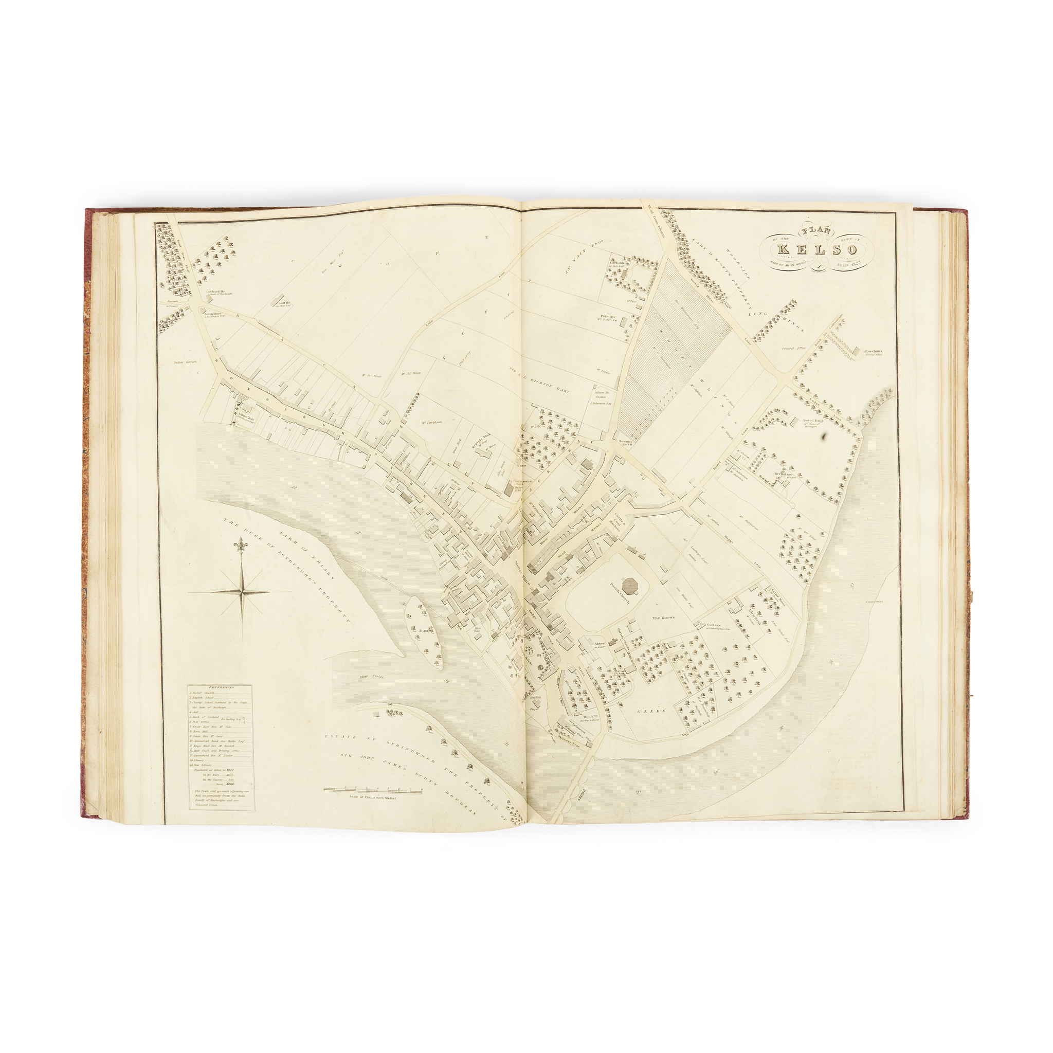
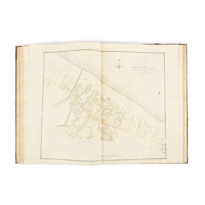
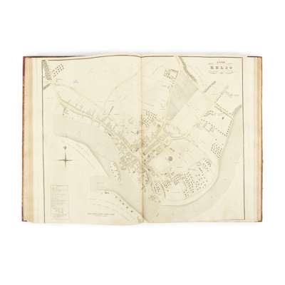
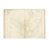
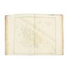
Edinburgh: John Wood, Town Atlas of Scotland. Edinburgh: published by the proprietor Canaan, Wm. Swinton, & J. Ritchie [and slight variations thereof, or:] published as the Act directs and sold at [the depicted town] and No. 1 North Bridge, Edinburgh, 1819-28. Folio (53 x 37cm), contemporary marbled boards, rebacked and recornered, 45 maps on 46 sheets (map of Stirling on 2 sheets), comprising: Aberdeen, [no date]; Arbroath, 1822; Ayr, 1818; Banff, 1823; Berwick, 1822; Brechin, 1822; Crieff, 1822; Dalkeith, 1822; Dumbarton, 1818; Dumfries, 1819; Dundee, 1821; Dunfermline, 1825; Dingwall, 1821; Dunkeld, 1825; Edinburgh, 1820, ‘altered to 1823 by John Wood’; Elgin, 1822; Forfar, 1822; Glasgow, 1822; Greenock, [no date]; Haddington, 1819; Hamilton, 1819; Hawick, 1824; Inverness, 1821; Inveraray, 1825; Irvine, 1819; Kirkcaldy, 1824; Kelso, 1823; Kilmarnock, 1819; Kinross, 1823; Lanark, 1825; Lothian's Plan of the Town of Leith and its Vicinity, 1826; Linlithgow, 1820; Montrose, 1822; Nairn, 1821; Paisley, 1828; Peebles, 1823; Perth, 1823; Portobello, 1824; Rothesay, 1825; St Andrews, 1820; Stirling, 1820; Selkirk, 1823; Stonehaven, 1823; Stornoway, 1821. 3 of which lithographic (Dundee, Inveraray, Paisley), the rest engraved, mainly by T. Clerk after John Wood, each map folded once and mounted on stub, most with contemporary hand-colouring, watermarks of Smith & Allnutt and J. Whatman dated 1822-7 (often later than the date on the map), many maps trimmed to platemark along bottom edge (as often owing to the variation in platemark dimensions), occasionally with a sliver shaved from the image, Dalkeith map shaved along three edges and spotted, a few maps with faint offsetting, Ayr map with one margin and Kirkcaldy with both fore margins slightly short, Kelso with repaired closed tears to foot, no title-page
[Cowan, Maps of Edinburgh, 1932, 34b for the plan of Edinburgh]
Provenance
From the collection of the late Professor Roland Paxton MBE FICE FRSE (1932-2025), 'Britain's foremost historian of civil engineering' (Telegraph, obituary, 12th November 2025); Professor Paxton was also a leading conservationist of Britain's engineering heritage, and led successful campaigns to restore two of the world's most important railway structures, the Laigh Milton Viaduct in Ayrshire, the world's oldest surviving railway bridge, and the Union Chain Bridge, the world's oldest suspension bridge still carrying road traffic.
Footnote
The first complete survey of the towns and cities of Scotland, Wood's Town Atlas is considered, together with John Thomson's volume of county maps (The Atlas of Scotland, 1832), as one of two ‘high points of Scottish mapmaking in the nineteenth century’ (Bell, ed., The Edinburgh History of the Book in Scotland, III, p. 313). Many of the settlements depicted had never previously been the subject of a full printed plan. A total of 48 maps is usually cited as the full complement, this being the number of towns included in the Descriptive Account of the Principal Towns in Scotland (1828), an octavo text-volume issued to accompany the atlas. The towns described there but not found in the present copy are Annan, Cupar and Jedburgh, though Annan is often reported as absent; some copies, however, are noted to contain a map of Galashiels, not listed in the Descriptive Account, and Wood is also known to have produced a map of Melrose, described in the title only as a ‘sketch’ rather than a 'plan', as all the other maps are described, but printed in 1826 and evidently part of the same project. The inclusion of the maps of Galashiels and Melrose would bring the required total up to 50, though in practice 48 appears to be the maximum number encountered.