

Lot 117
Scotland
Collection of large and wall-size maps, 18th and 19th century
Auction: 16 June 2026 from 10:00 BST
Description
all linen-backed, mounted on scroll rods unless otherwise stated, including:
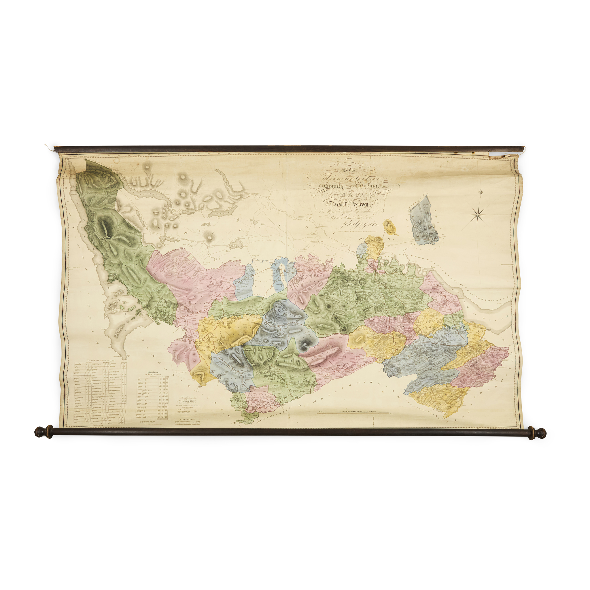
Grassom, John. To the Noblemen and Gentlemen of the County of Stirling, this Map from Actual Survey is most Respectfully Dedicated. Stirling: published, as the Act directs, by the Surveyor, 1817. Engraved map by J. & G. Menzies, 105 x 160cm, hand-coloured, sheet partially detached from top scroll rod;
Tennoch, William. [Manuscript estate plan of Nether Mingion and Over Mingion, Tweeddale], 1774. Pen and ink with watercolour, 87 x 107.5cm, paper waxed and consequently browned, damp-staining;
Forrest, William. Haddington Shire, 1799. Edinburgh: published as the Act directs, by the Surveyor, 1802. Engraved map, 121 x 146cm, pictorial title cartouche, hand-coloured, browning, a few tears;
Kirkwood & Son. Plan of Edinr and Leith with the Latest Improvements. [Edinburgh], c.1830. Engraved map, 160 x 145cm;
Bartholomew, John. Bartholomew's Plan of the City of Edinburgh with Leith and Suburbs, reduced from the Ordnance Survey and revised to the Present Date. [Edinburgh: John Bartholomew], 1891. Engraved map, 192 x 156.5cm, with printed and hand colouring, dust-soiling and creasing to head and foot, a few repairs verso;
and 2 others similar (7)