Lot 73
Jode, Gerard de - Gastaldi, Giacomo
Rare Books, Maps, Manuscripts & Photographs
Auction: 16 January 2013 at 10:00 GMT
Description
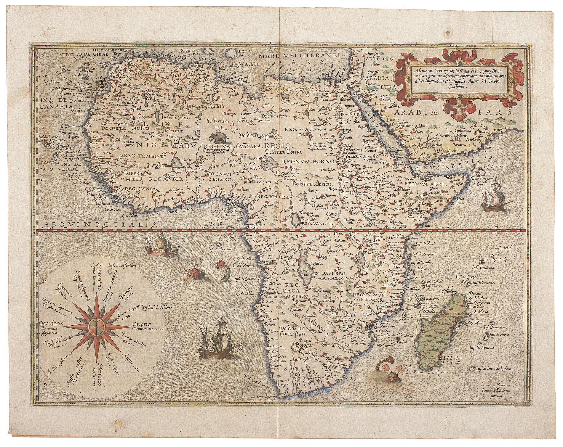
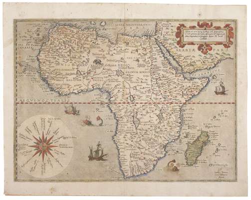
Africae ut terra mariq[ue], lustrata est, propiissima ac verè genuina descriptio, observatis ad unguem gradibus longitudinis et latitudinis. [Antwerp: Gerarde de Jode, c.1573]. 405 x 520mm., Latin text on verso, First or Intermediate State with Latin text on verso but without the addition of "Cum privilegio" in the title cartouche, engraved map hand-coloured in outline, two small holes close to central fold with very slight loss, slightly discoloured/spotted, hole in lower margin, top right corner of margin renewed
Footnote
Provenance: Bartholomew Family, Mapmakers and Geographers, Edinburgh
Note: "This is an exceedingly rare, folio-size map of Africa by Gerard de Jode. It is clearly based on the famous eight sheet Giacomo Gastaldi wall map of Africa of 1564. Within the title, De Jode recognises Gastaldi as the author of this work ("Autore M. Iacobo Castoldo"). As De Jode was represented at the important Frankfurt Book Fair where he bought and sold maps, he possibly obtained a copy of the Gastaldi wall map of Africa during one of these fairs. Other than reducing Gastaldi's heavily detailed, eight-sheet map to one folio-sized map, thus omitting numerous text passages and place names, the basic outline for Africa and its hydrographical and topographic features are the same.
Koeman (1967-71) theorizes that De Jode may have been inspired to issue his own atlas, based on the immediate success of Abraham Ortelius' Theatrum Orbis Terrarum. It is therefore likely that this map of Africa may have been prepared sometime after 1570, but before 1578, with the intention that it would eventually be included in his own atlas pending De Jode's receipt of a publisher's privilege intended to prevent unauthorized copying of his maps.
Although De Jode attempted to receive a royal privilege starting in about 1573, he was not to be granted his royal privilege until 1577. Prior to 1578, it appears that De Jode printed a number of separate, folio-size maps without text on the verso while he waited for his privilege.
It is likely that the second state of De Jode's map of Africa, with the addition of the "cum privilegio" at the bottom right within the title cartouche below the De Jode imprint, was prepared just before the publication of De Jode's Speculum Orbis Terrarum in 1578.
The map was engraved by Johannes and Lucas van Deutecum (with the imprint at bottom of Ioannes a Deutecum / Lucas a Deutecum / fecerunt.)
De Jode's atlas was not a financial success and no other editions were published. In total, a dozen or so examples of his atlas are said to have survived. Consequently, all maps by Gerard de Jode are quite rare.
A revised map of Africa, using a new copperplate, was issued in 1593 by his son, Cornelis. This new map was included in Cornelis De Jode's atlas of 1593, the Speculum Orbis Terrae.
The present map would appear to be an intermediate state between Betz's 14.1 First state of 1573, and 14.2 Second State 1578 which calls for "cum privilegio" in the title cartouche and Latin text on verso.
Betz 14.1; Koeman 1967-71: II, Jod 1 (3)