Lot 72
India and Burma - Walker, John

Rare Books, Maps, Manuscripts & Photographs
Auction: 16 January 2013 at 10:00 GMT
£875
Description
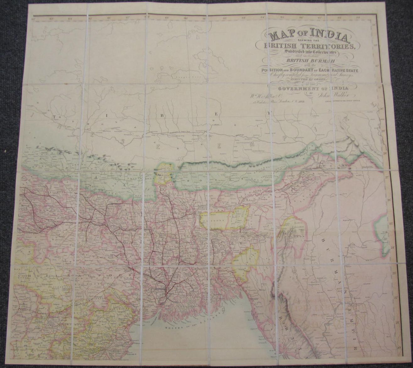
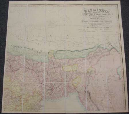
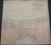
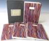
Map of India, shewing the British territories, subdivided into Collectorates and including British Burmah, with the position and boundary of each native state, executed by order of the government of India. London: W.H. Allen & Co., 1889. Large hand-coloured folding map of India, divided by section and backed on linen, in four sheets, each sheet 855 x 875mm., original slipcase
Footnote
Provenance: Bartholomew Family, Mapmakers and Geographers, Edinburgh