Lot 340
Bowen, Emanuel, and John Gibson
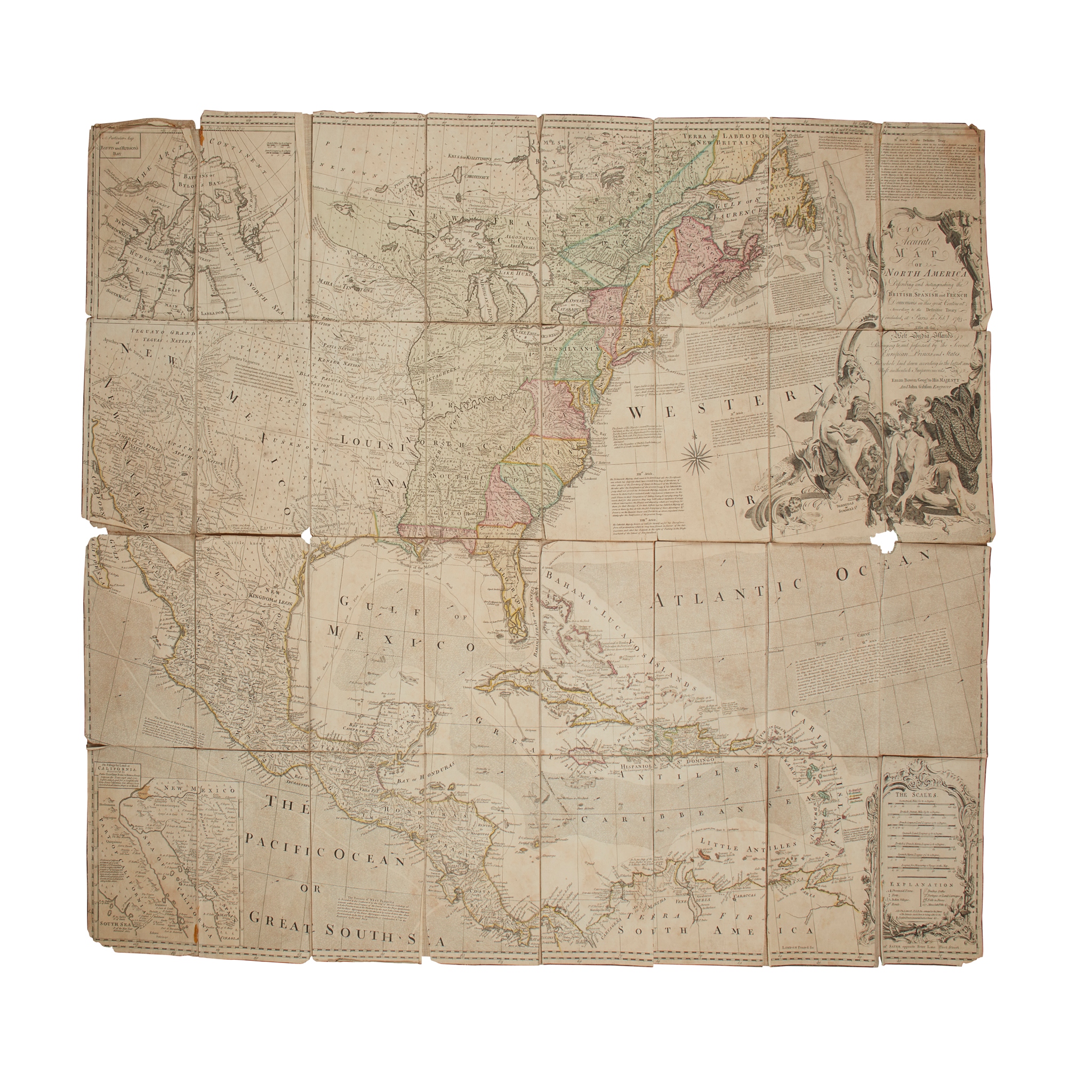
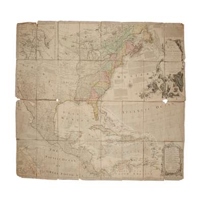
An Accurate Map of North America
Rare Books, Manuscripts, Maps & Photographs
Auction: 19 June 2024 from 10:00 BST
Description
Describing and distinguishing the British, Spanish and French Dominions on this Great Continent: according to the Definitive Treaty concluded at Paris 10th Feby 1763. Also all the West India Islands, belong to, and possessed by, the several European Princes and States. London: Rob[er]t Sayer, [c.1763 or later]. Engraved hand-coloured map, dissected into 32 panels and mounted on linen, large allegorical title-cartouche, decorative mileage cartouche lower left, 2 inset maps ('A Particular Map of Baffin and Hudson's Bay', and ‘The Passage by Land to California, Discovered by Father Eusebius Francis Kino', showing California as an Island), slightly toned overall, panels lifting from linen backing, small area of loss to intersection of four panels on right (including two lower panels of title cartouche, shallow loss to corners touching borders only, damp-staining and fraying to linen backing
Provenance
From the library of the late Robert Bogdan (1950-2023), of Boghead of Torries and Dykehead of Avochie, Aberdeenshire, geography master at Charterhouse and sometime chairman of the Scottish Castles Association.