Lot 339
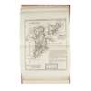
Moll, Herman
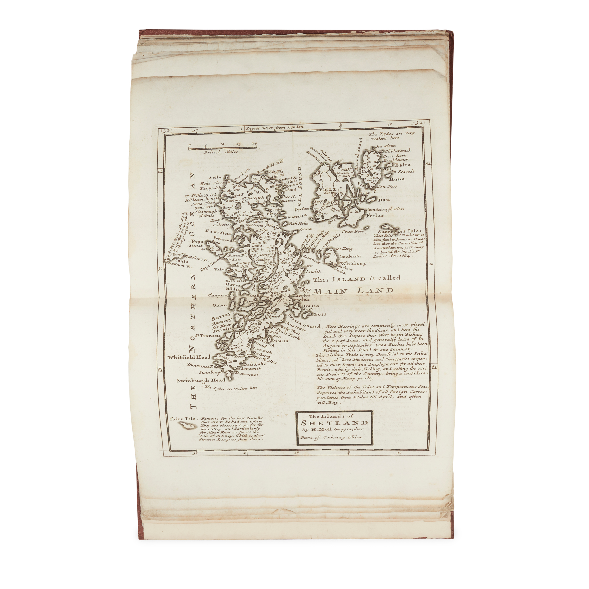
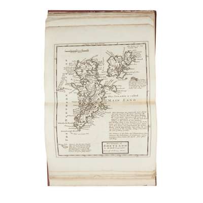
[A Set of Thirty Six New and Correct Maps of Scotland Divided into Shires]
Rare Books, Manuscripts, Maps & Photographs
Auction: 19 June 2024 from 10:00 BST
Description
[London: H. Moll, 1725]. 4to (23 x 18.5cm), later sheep-backed cloth, one leaf of descriptive text, 35 engraved folding maps (of 36: lacking the final map, of Islay), also lacking the title-page, text-leaf and maps 1-2 ('Scotia Antiqua' and ‘Scotland divided into its Shires’ repaired, the latter also with marginal loss, extensive marginal damp-staining to maps 3-14, thereafter receding to the corners, disappearing by map 24, a few other marginal marks, blemishes and shallow chips including repair to map 27 [Chubb pp. 374-6];
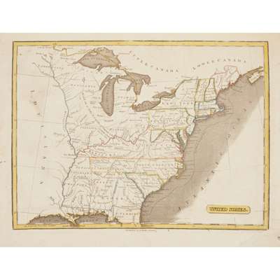
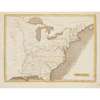
Miller, G[eorge]. The Modern Royal Atlas from the Best Authorities. Dunbar: G. Miller, c.1800. 4to (27 x 21cm), contemporary half calf, hand-coloured engraved vignette title-page, 24 hand-coloured engraved maps (2 double-page: ‘The World’ and ‘East Indies’), spotting and soiling, numerous old repairs and reinforcements, chiefly to margins;
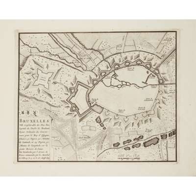
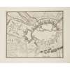
Fer, Nicolas de. Le théâtre de la guerre, dans les pays bas, ou représentation des principales villes qui sont en Flandre, Hainaut, Brabant, etc. Avec leurs fortifications … second volume [only]. Pairs: chez l'auteur, 1716. Oblong folio, contemporary comb-marbled wrappers, title-page in red and black, 25 engraved plates, wrappers chipped, soiled and detaching, fraying and softening to lower fore corners throughout (3)
Provenance
From the library of the late Robert Bogdan (1950-2022), of Boghead of Torries and Dykehead of Avochie, Aberdeenshire, geography master at Charterhouse and sometime chairman of the Scottish Castles Association.