Lot 3
Blaeu, Johannes
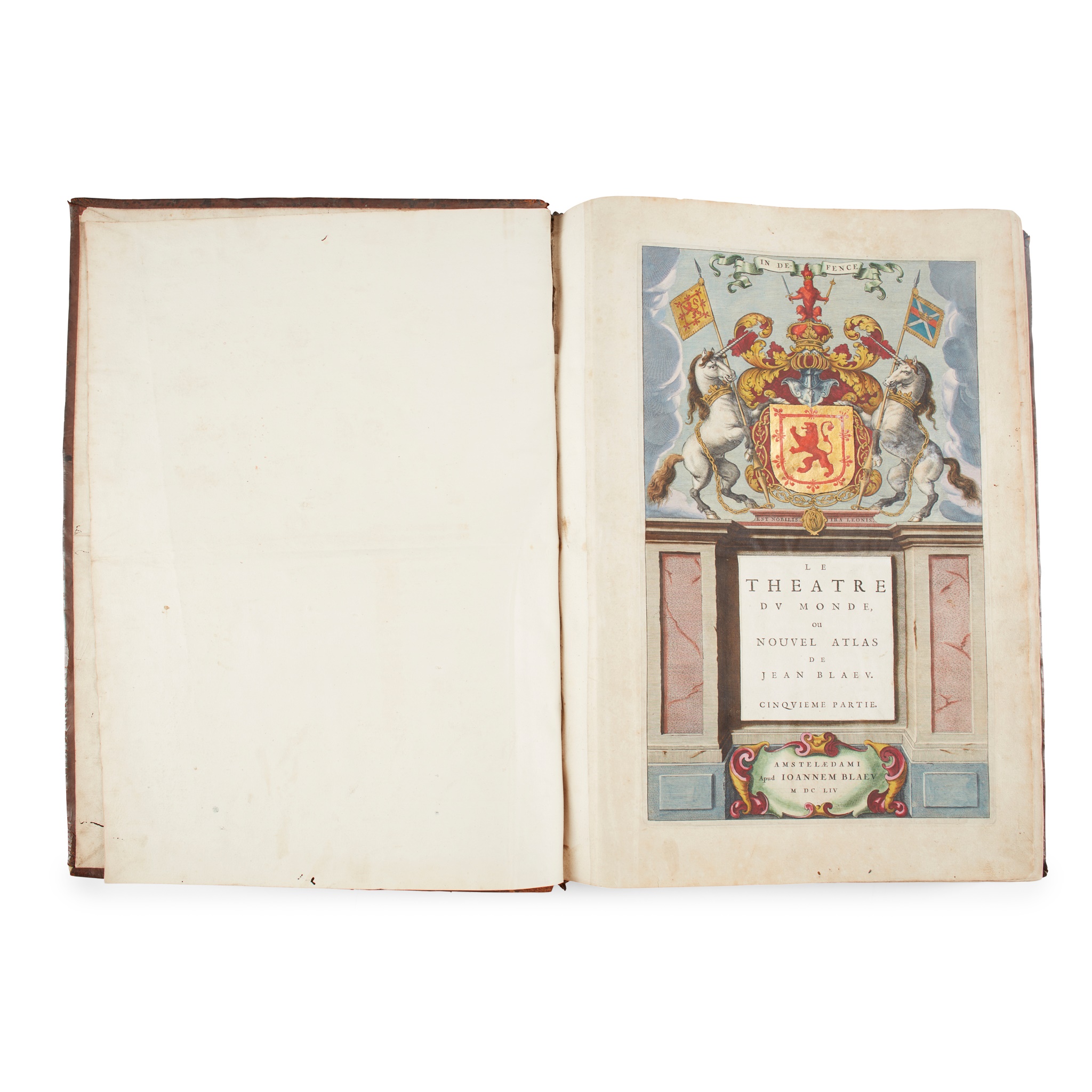
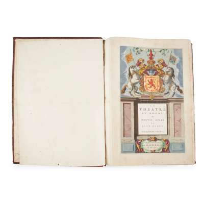
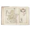
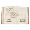
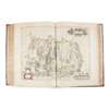
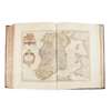
Le Theatre du Monde, ou Nouvel Atlas, cinquieme partie [Scotland and Ireland]

Rare Books, Manuscripts, Maps & Photographs
Auction: 21 September 2023 at 10:00 BST
Description
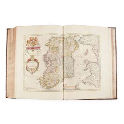
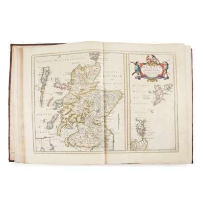
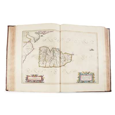
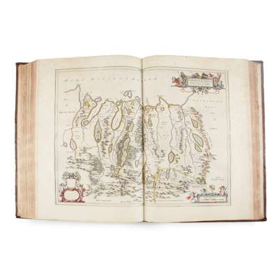
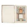
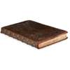
Amsterdam: Johannes Blaeu, 1654. Folio (50 x 33cm), [12] 181, 59 pp (rectos of map-sheets not counted in pagination), contemporary mottled calf, gilt spine, engraved architectonic title-page incorporating arms of Scotland and with letterpress title in French on mounted slip, 55 engraved maps (all but one double-page), containing titles within decorative cartouches, several maps additionally with dedication and mileage charts in similar cartouches (a few dedications also incorporating arms of the dedicatee), maps and title-page with contemporary hand-colour throughout, title-page additionally heightened in gilt, woodcut initials and tailpieces, binding pitted, variable browning and offsetting, occasional spotting, small worm-track to lower margin from front to p. 40 (text and maps never affected), repaired closed tears to text-leaf *1 and map of Lennox ('Levinia'), 'Scotia Regnum' map with old circular stain to upper margin, Lower Clydesdale ('Gottiana Praefectura Inferior') map with Dutch text verso and small hole in image [Skelton 59a; cf. Chubb, 'The Atlases of Scotland' II-III, Dutch and Latin editions]
Footnote
Note: 'The first printed atlas of Scotland' (Skelton), being the fifth volume of Blaeu's 1654 world atlas, this copy from the French-text edition: editions with text in French, Latin, Dutch and German were all published in the same year, with a Spanish edition appearing in 1659; the maps themselves are titled in Latin and English. The work contains 'three general maps and forty-six maps of Scottish counties and regions, engraved at Amsterdam from drawings by Robert Gordon of Straloch (1580-1661) and his son James (c.1615-1686), minister of Rothiemay in Banffshire, together with a general map of Ireland and five maps of Irish provinces, after Mercator and Jansson. The maps by the Gordons incorporate the results of the earliest topographical survey of Scotland, that made by Timothy Pont at undetermined dates, apparently within the last two decades of the 16th and the first decade of the 17th century' (ibid.).