Lot 2

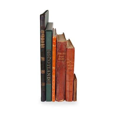
Atlases
comprising Bartholomew & Co.

Rare Books, Manuscripts, Maps & Photographs
Auction: 21 September 2023 at 10:00 BST
Description
Black. Road & Railway Travelling Map of Scotland, [n.d., 1870s?] Folding map, linen-backed, hand-coloured, in original cloth-covered boards, some dust-soiling;
Bartholemew, J.G. The Royal Atlas of England and Wales, reduced from the Ordnance Survey. London: George Newnes, [1897]. Folio, modern half morocco, foxed;
Idem. The Imperial Map of England & Wales, according to the Ordnance Survey... London: Edinburgh: A. Fullarton & Co., [n.d.] Folio, modern half morocco;
Stieler. Hand-Atlas. Justus Perthes, 1910. Folio, original quarter calf, joints split;
Blaeu, J. The Blaeu Atlas of Scotland. Edinburgh: Birlinn / National Library of Scotland, 2006. Folio, facsimile of the 1654 edition, original quarter cloth, slipcase;
Barrott, H.N. An Atlas of Old Edinburgh. Facsimile, 2000, folio in half calf