Lot 2
Greenwood, C. & J.
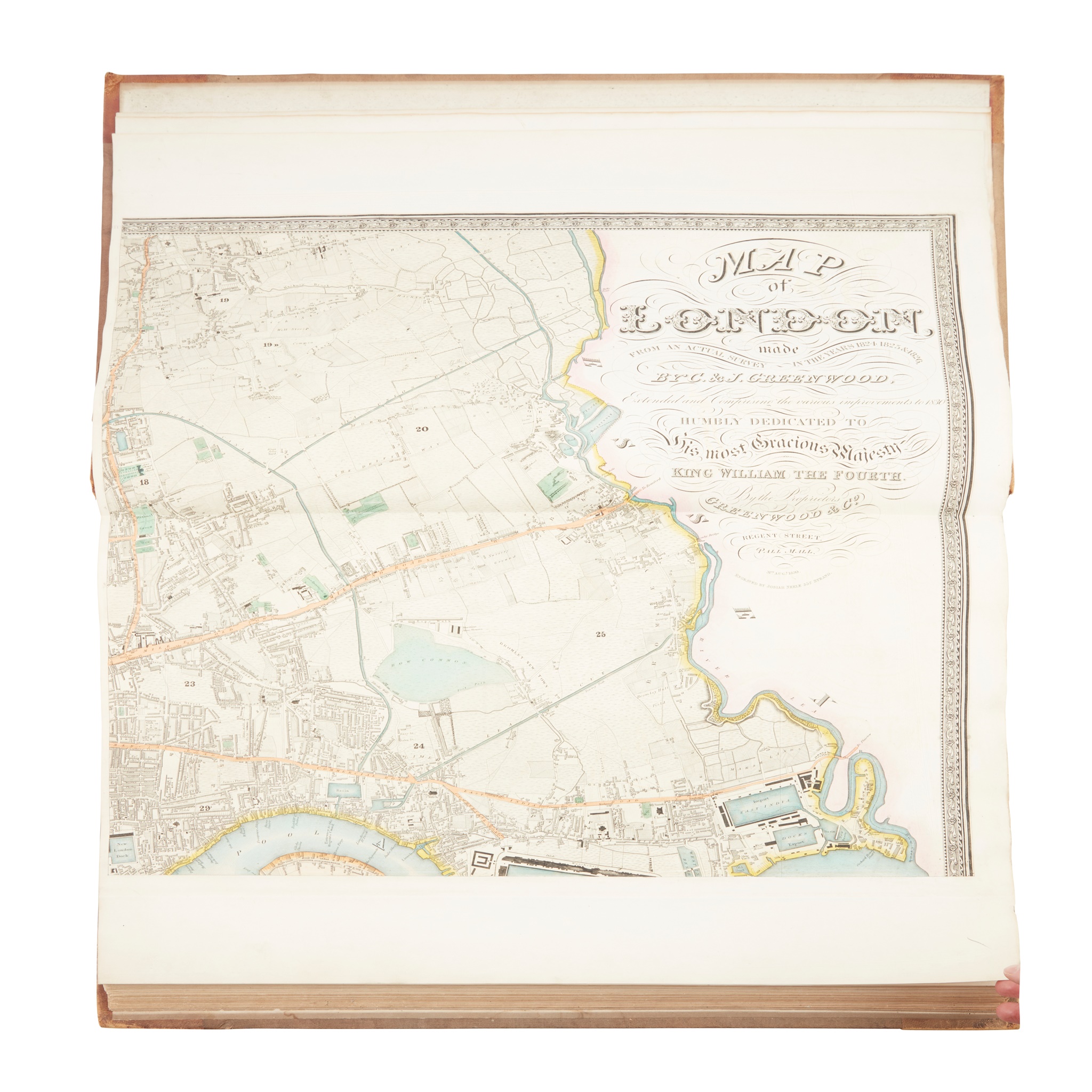
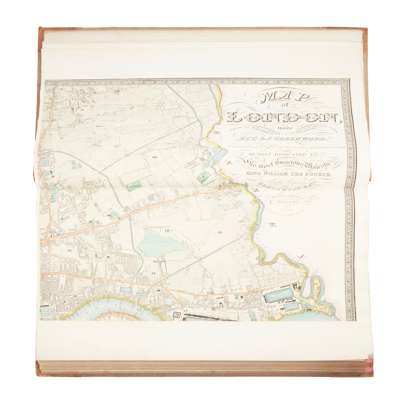
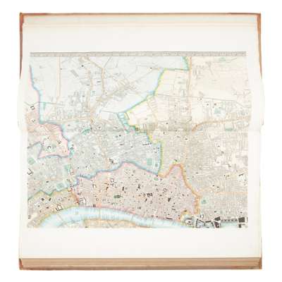
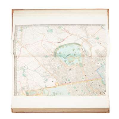
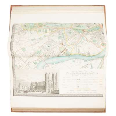
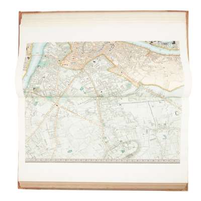
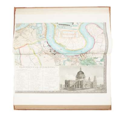
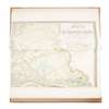
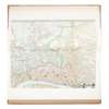
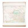
Map of London made from an Actual Survey in the Years 1824, 1825 & 1826

Rare Books, Manuscripts, Maps & Photographs
Auction: 8 February 2023 at 10:00 GMT
Description
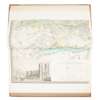
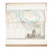
Extended and Comprising the Various Improvements to 1830. London: Greenwood & Co., 1830. Wall-size engraved map on 6 sheets (each 65 x 80cm), with contemporary hand-colour, large calligraphic title including dedication to William IV, inset views of St Paul's Cathedral and Westminster Abbey, each sheet folded once and mounted on guard.
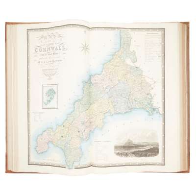
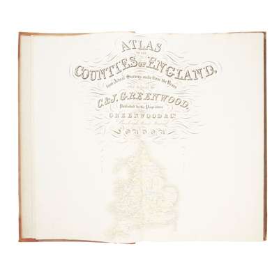
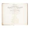
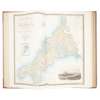
Bound in at the front of a copy of C. & J. Greenwood's Atlas of the Counties of England, from Actual Surveys made from the Years 1817 to 1833, London: Greenwood & Co., 1834. Large folio, contemporary half morocco, engraved title-page incorporating general map, 46 engraved county maps each with inset view, contemporary hand-colour throughout, all folding and mounted on guards, similarly opening to 65 x 80cm, binding rubbed and marked, spotting to Anglesey [etc.] and Monmouth maps, Northumberland browned [Chubb 458a]
Footnote
Note:
Greenwood's landmark map of London was first published in 1827, his only venture outside county map making. His Atlas of the Counties of England and Wales was published in parts between 1829 and 1834. 'It was an astonishing achievement for a private surveyor in so short a time. The majority of these surveys anticipated publication of the sheets of the Ordnance Survey. Even in the south of England and in Lincolnshire, where the Ordnance Survey published their maps first, Greenwood did not slavishly copy the work, but offered a distinctive style and some additional information; not least of the attractions of his maps was the high standard of the engraving ... The enduring popularity of its plates came partly from the beautifully engraved vignettes of cathedrals, castles, or town views that graced each one' (ODNB).