Lot 21

6 framed maps and 1 volume
comprising Blaeu, Joan


Rare Books, Manuscripts, Maps & Photographs
Auction: 23 June 2021 at 11:00 BST
Description
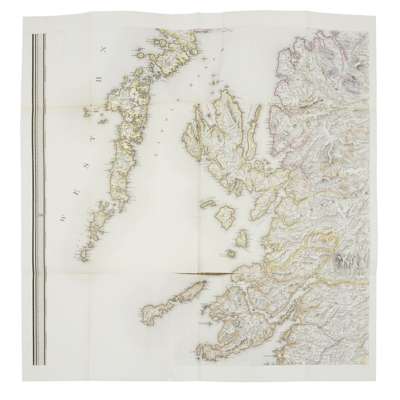
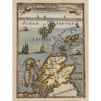
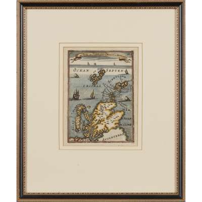
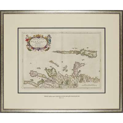
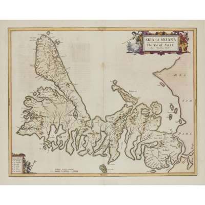
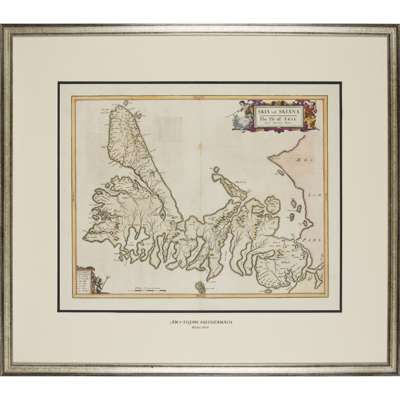
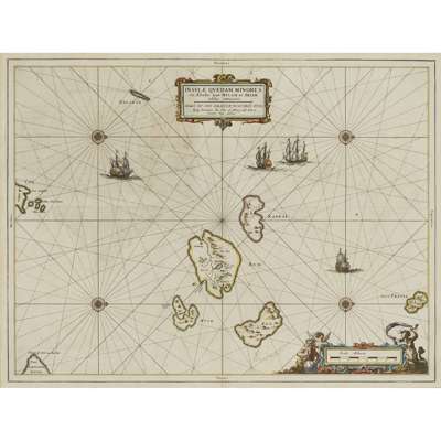
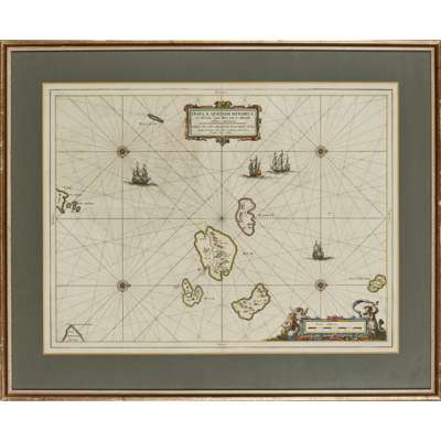
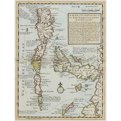
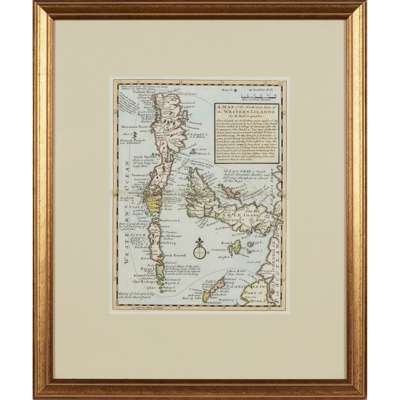
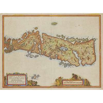
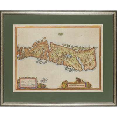
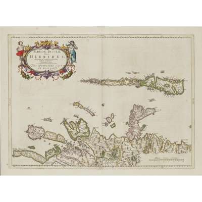
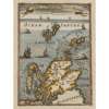
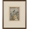
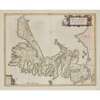
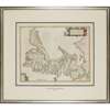
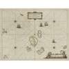
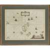
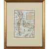
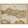
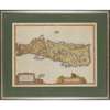
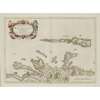
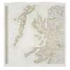
The Westerne Iles of Scotland. [Amsterdam, c. 1654], engraved map hand-coloured in outline, 425 x 575mm, framed and glazed; Blaeu, Joan. Lewis and Harray. [Amsterdam, c. 1650]. hand-coloured engraved map, 415 x 555mm., slightly spotted, framed and glazed; Blaeu, Joan. The Yle of Skie. [Amsterdam, c. 1654], engraved map, faintly hand-coloured in outline, 455 x 570mm, framed and glazed; Blaeu, Joan. Some of the Smaller Westerne Yles lying betweene the Iyles of Mull and Skye. [Amsterdam, c. 1654], engraved map, hand-coloured in outline, 410 x 540mm, French text on verso, small note in faint ink just below the island of Egg, framed and glazed; Moll, H. A Map of the North West Part of the Western Islands. [1725], later hand-colouring, slight darkening above centre fold, framed and glazed; Mallet, A.M. Is. de Fero de Scheland. Orknay et Hebrides. [c. Paris, 1683], hand-coloured engraved map, 155 x 117mm, framed and glazed; Lewis, Samuel. Topographical Dictionary... supplementary volume: Map of Scotland. 1849, 4to, map on 6 folding sheets, original cloth (6 maps and 1 volume)