

Lot 62
Royal Geographical Society
The Journal; The Geographical Journal; Proceedings; Proceedings ... New Monthly Series
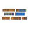
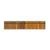
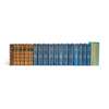
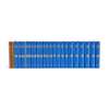
Auction: Books & Manuscripts | 01 October 2026 from 10am | Lots 1 to 78
Description
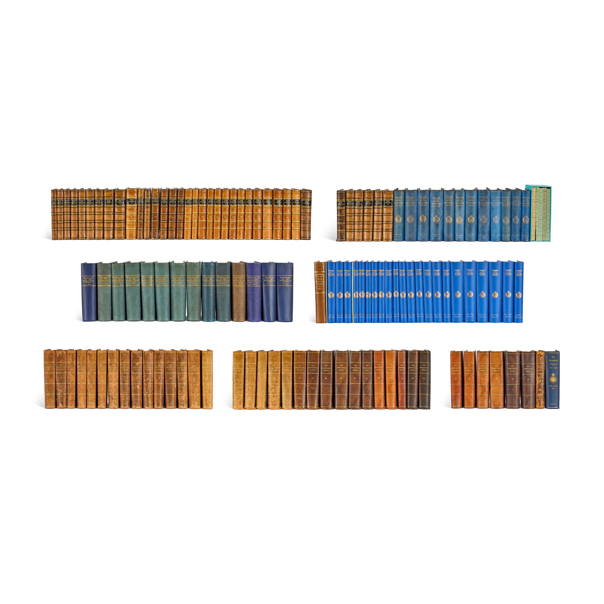
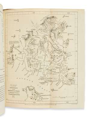
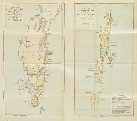
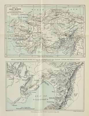
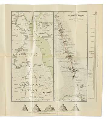
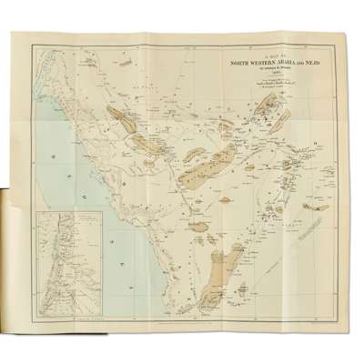
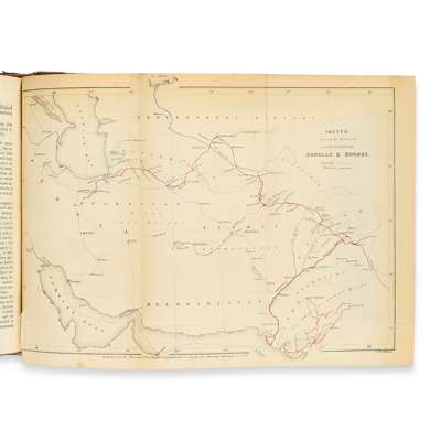
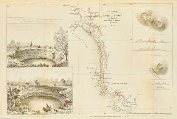
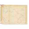
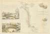
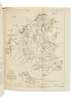
8vo (various dimensions), various bindings as listed, profusely illustrated with hundreds of engraved or lithographic folding maps and plans, halftone photographic plates to later volumes, collated according to lists of maps and plates where present, the lot comprising:
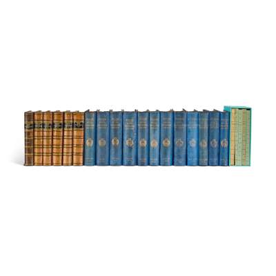
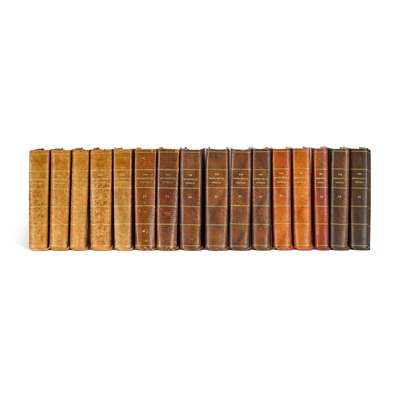
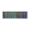
1) The Journal of the Royal Geographical Society of London. London: John Murray, 1831-80. Volumes 1-50, bound in 49 (vols. 17-18 bound in one), various bindings (volumes 1-9, 11-16 and 32-8 in contemporary half calf, marbled sides, 10 and 17-31 rebacked and recornered to style, retaining the marbled sides, 39-50 in original blue cloth), with the 5 index volumes, 1844-84, in original wrappers, housed in custom slipcase. Lacking 4 maps (at volume 10 p. 274, volume 11 pp. 136 and 184, and in volume 18);
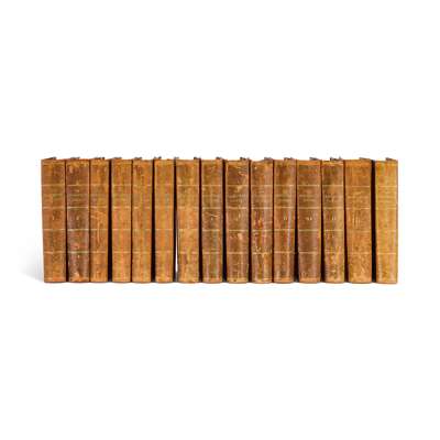
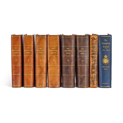
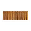
2) The Geographical Journal including the Proceedings of the Royal Geographical Society. London: Royal Geographical Society, 1893-1911. Volumes 1-38, volumes 1-22 in contemporary straight-grain green half roan, spines rubbed and sunned to tan, 23 in original blue cloth, 24-38 in contemporary green half morocco, several spines sunned, engraved bookplates of African explorer and Emin Pasha Relief Expedition member Herbert Ward and his wife Sarita (designed by Emery Walker), to all volumes except 23. Volume 30 bound without numbers 4-5 (of 6). [With:] Royal Geographical Society Year-Book and Record, 1898 (contemporary half roan, bookplate of Herbert and Sarita Ward);
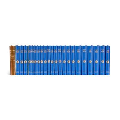
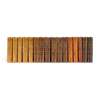
3) Proceedings of the Royal Geographical Society of London. London: Edward Stanford, 1857-78. Volumes 1-22, volume 1 in later brown cloth, volumes 2-22 in later blue cloth with gilt titles and arms of the RGS to spines, several volumes (1, 5, 10, 15, 16, 20) with the book-label of Humphrey Winterton (noted collector of Africana) to front pastedown, vol. 1 bound without no. 8 and vol. 4 bound without nos. 1-2 (vol. 1 no. 8 and vol 4. no. 2 supplied by copies in the original wrappers), institutional ink-stamps to title-pages of volumes 3-5 and title-page, versos of maps, and edges of textblock of volume 22. [With:] General Index to the Proceedings of Royal Geographical Society, (First Series), Vols. I-XXII., 1855-1875, 1920 (uniform blue cloth).
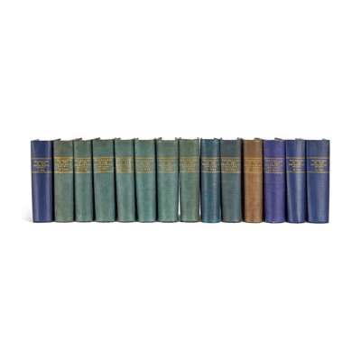
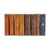
4) Proceedings of the Royal Geographical Society and Monthly Record of Geography. New Monthly Series. London: Edward Stanford, 1879-92. Volumes 1-14, 8vo (23.5 x 14.6cm), contemporary cloth, a few maps in volumes 4, 6, 8 and 13 bound out of order, vols. 5-12 with ink-stamps of the Royal Institute of British Architects to text-leaves or versos of maps, vol. 7 additionally with cancellation ink-stamp of British Library Lending Division to title-page, volume 13 with Wallasey Public Libraries perforation stamps to maps (and ink-stamps to rectos). Together with: Royal Geographical Society Supplementary Papers. Vol. IV, 1890 (original cloth);
the lot sold as a periodical, not subject to return
Provenance
The Library of a Scottish Gentleman.
Footnote
An extensive run, containing the majority of the Royal Geographical Society's periodical output up to the early 20th century. The Society was founded in 1830 for the advancement of geographical science and has been among the most active of the learned societies ever since. One of the co-founders was the cartographer, John Arrowsmith, who “knew many explorers and was responsible for converting their rough sketch maps and surveys into accurate maps on which was consolidated all the available information … At least 181 of his maps appeared in the Royal Geographical Society's publications and he persuaded the society to use copper-engraving instead of the cheaper but inferior lithography; this was typical of his search for perfection in both the content and presentation of his maps” (ODNB).