Lot 385
Cooke, Capt. Edward
Rare Books, Maps, Manuscripts & Photographs
Auction: 16 January 2013 at 10:00 GMT
Description
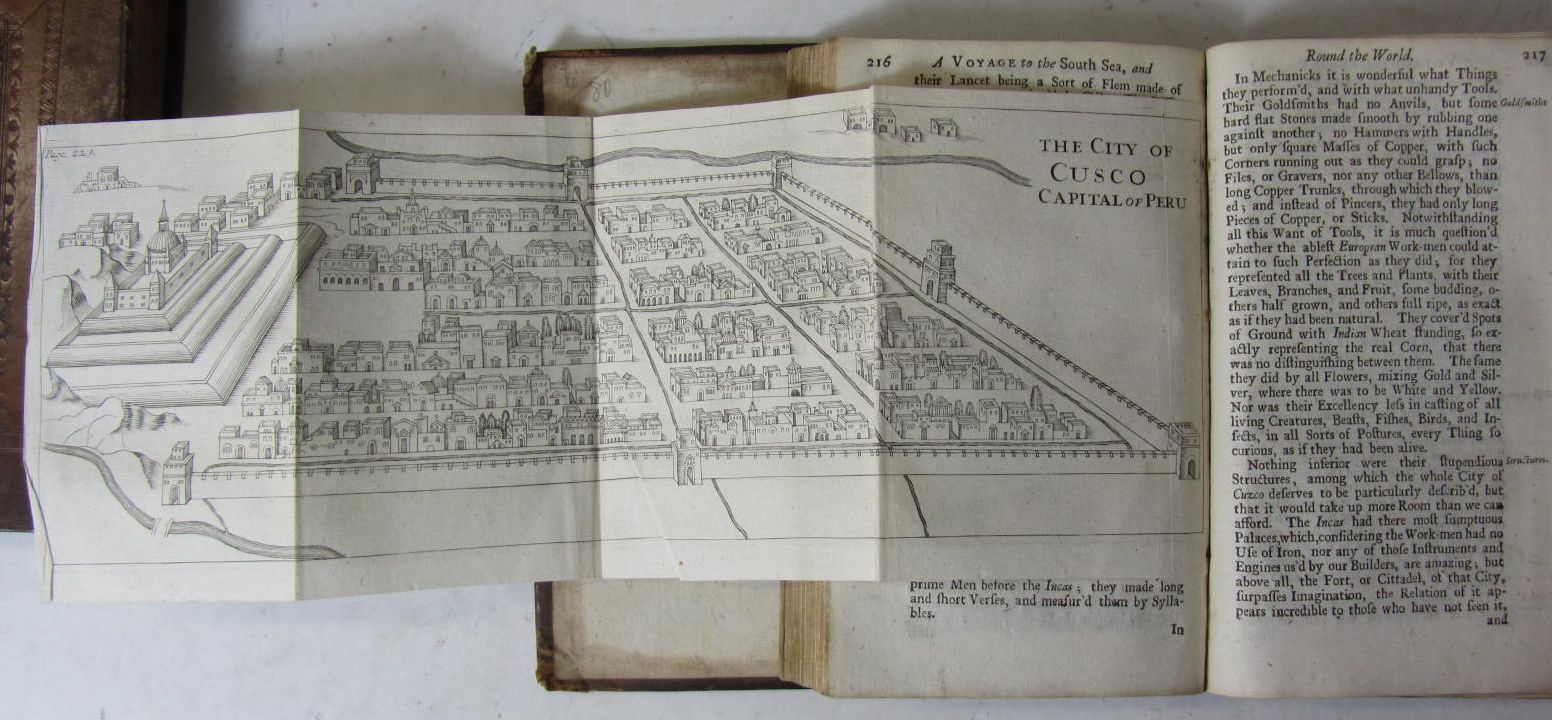
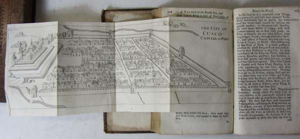
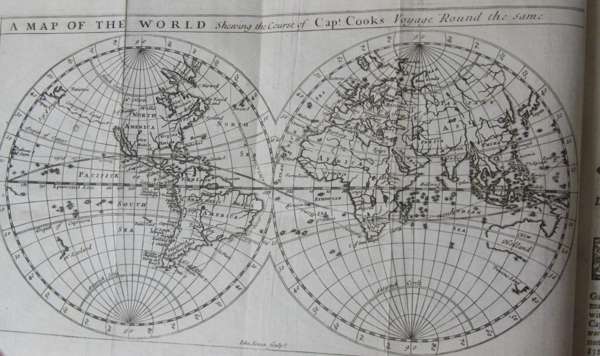
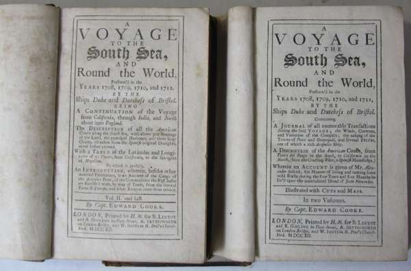
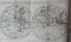
A voyage to the south sea and round the world, perform'd in the years 1708, 709, 1710, and 1711, by the Ships Duke and Dutchess of Bristol.... a description of the American Coasts from Tierra del Fuego in the South, to California in the North. London: Printed by H.M. for B. Lintot and R. Gosling, A. Bettesworth, W. Innys, 1712. First edition, 2 volumes, 8vo, [22], 432, [10]; [8], xxiv, 328, [8], folding double-hemisphere world map by John Senex and 25 (of 26) maps and plates (6 folding) [comprising 20 maps and plates in volume 1 (3 folding) and 6 maps and plates in volume 2 (3 folding)], contemporary panelled calf, one map torn without loss, one slightly shaved, worn, one cover detached
Footnote
Note: Edward Cooke was second captain on the Dutchess which accompanied the Duke, both under Captain Woodes Rogers, on a privateering voyage around the world.
There are two issues of the first edition, both dated 1712 and with the same publishers. The first issue consisted of only one volume, of 456 pages. The work was then expanded to two volumes, as found here. The list of maps and plates on the final leaf of the index of volume 1 calls for 20 plates and maps, all of which are present. The directions to the binder in volume 2 does not refer to plates or maps but calls for "the first Journal-Table at page 3." Volume 2 does not have the 3 folding tables usually found.