Lot 416
Jefferys, Thomas
Rare Books, Maps & Manuscripts
Auction: 10 September 2014 at 12:00 BST
Description
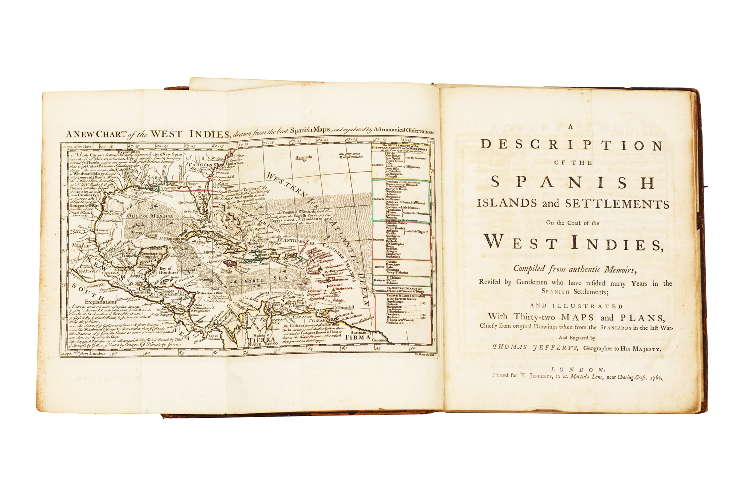
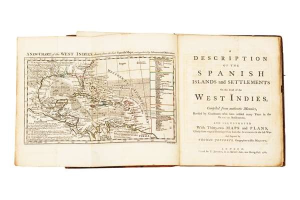
A description of the Spanish islands and settlements on the coast of the West Indies, compiled from authentic memoirs, revised by gentlemen who have resided many years in the Spanish settlements and illustrated with thirty-two maps and plans … London: printed for T. Jefferys, 1762. First edition, 4to., with an engraved folding chart (hand coloured in outline) as frontispiece, and 31 other folding engraved maps and charts, plate 6 misnumbered 5, and plate 16 as 15, contemporary calf, worn and rubbed, spine split, slight paper discolouration throughout, short tear at inner fold of plate 17 (The map of Cuba) and lower part of the inner margin also trimmed to allow for folding, small piece torn from the margin of plate 28 (not affecting printed matter), short tear at the inner margin where folded of the Map of San Domingo (plate 29)
Footnote
Provenance: With the armorial bookplate of Maurice Kingsley and the signature of his son Charles Kingsley, Charles was a bibliophile and Scribners, the US publishers, bookseller and magazine owners asked Charles to run their London operations immediately after the Great War in 1919. He had a particular interest in their rare books section. He returned to the US in late 1940/41 when war made the import/export of books difficult. While in Britain, Charles lived in the Old Gate House at Richmond Palace one of the few bits left of the old Palace.
Note: Published toward the end of the Seven Years War, in which Spain had sided with France against Britain, this atlas is largely compiled from captured Spanish charts. Jeffery's describes the Spanish possessions in the Caribbean basin, beginning with the Venezuelan coast, proceeding to Colombia, Central America, Mexico, Florida (which was later to become part of Britain's American territories), Cuba Hispaniola, and Puerto Rico. Louisiana is omitted as it was not to come into Spanish hands until 1763.