Lot 12
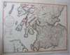
A collection of four maps of Scotland and Ireland
Rare Books, Maps & Manuscripts
Auction: Rare Books, Maps & Manuscripts
Description
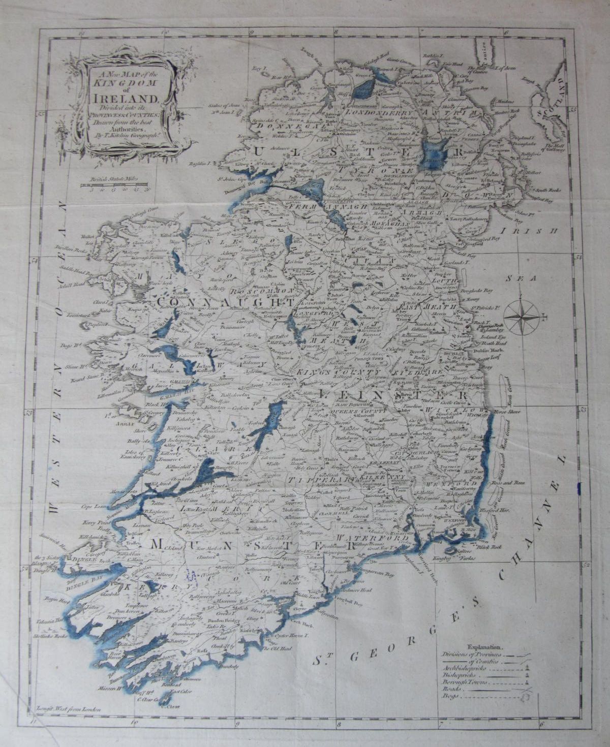
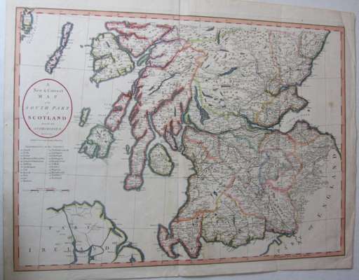
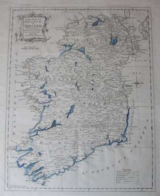
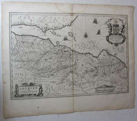
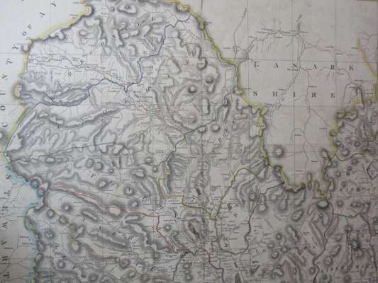
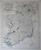
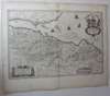
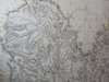
Kitchin, T. A new map of the Kingdom of Ireland... [London: John Cary, after 1799?] Hand-coloured in outline, 355x442mm (engraved area 290x364mm), some very slight marginal darkening, lower left corner a little creased, a couple of small marks in purple pen; Blaeu, J. and Blaeu, C. Lothian and Linlithquo. [Amsterdam: after 1654], 620x503mm (engraved area 550x380mm), Latin text on reverse, some marginal browning, dampstain to centre of upper margin, slightly affecting the engraved area, a few short closed tears; Thomson, John [A map of part of Dumfries and Galloway (Kirkconnel, Morton, Closeburn, Glencairn)]. Edinburgh: 1828. Hand-coloured in outline, 741x217mm (engraved area 196x628mm), a little dust-soiling, a few small chips and closed tears; Cary, John A new and correct map of the south part of Scotland. London: John Stockdale, 1805. Hand-coloured in outline, 427x552mm (engraved area 380x522mm) (4)