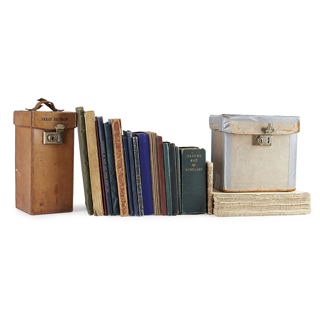
19 18-19TH CENTURY MAPS INCLUDING
RAMSAY, ANDREW C.
£700
Rare Books, Manuscripts, Maps & Photography
Auction: 31 January 2019 at 11:00 GMT
Description
Geological Map of the British Isles. Edward Stanford, 1878, hand-coloured folding map, slipcase; Rocque, John The Traveller's Companion of the Post Roads of England and Wales. Robt. Sayer, 1786, engraved map, divided in sections backed on linen, hand-coloured in outline, slipcase; Seaton, Robert Seaton's Map of Palestine or the Holy Land. London: for Robt. Seaton, [c.1820 ?], hand-coloured engraved map, 84 x 98cm., folding into red half roan, worn; Index to the Ordnance Survey of the Counties of Fife and Kinross. Edinburgh, 1871, map in sections backed on linen, folding into green cloth; Vuillemin, A. Plan pittoresque de la ville de Paris. Paris, 1840, folding map, divided in sections and backed on linen, engraved vignettes; Geikie, Sir Archibald Map showing the Surface Geology of Ireland. [c.1892], coloured map, folding into blue cloth gilt; Geological Map of Scotland. 1892, folding into blue cloth gilt; Bartholomew, J.G. The Imperial Map of England & Wales. Fullarton & Co., [n.d.], folding map on 19 sheets, divided and backed on linen, no slipcase; Bartholomew, J.G. Bartholomew's Revised "half-Inch" contourned Maps. Scotland. 29 maps, folding into blue covers, in worn & repaired box; and 9 others (listed in Condition Report)