London - John Stockdale
Rare Books, Manuscripts, Maps & Photography
Auction: 11 October 2017 at 11:00 BST
£1,000
Description
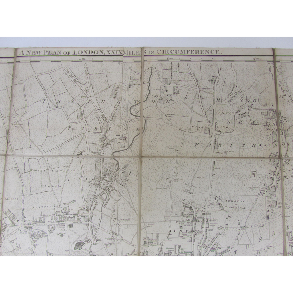
A new plan of London XXIX miles in circumference. London: Stockdale, 2nd January, 1797. 105 x 146cm. Engraved map on 30 sheets, linen backed, the City of London outlined in red, a little dusty and with some slight discolouration
Footnote
Note: There are various states of this map which was reissued with the same date. The present copy does not show the West or East India Docks, the London Docks, or the intended routes of the Regent's (Vauxhall) or Waterloo Bridges.