Lot 26
Bellin, Jacques Nicolas, and 2 other maps
Rare Books, Manuscripts, Maps & Photography
Auction: 11 January 2017 at 11:00 GMT
£500
Description
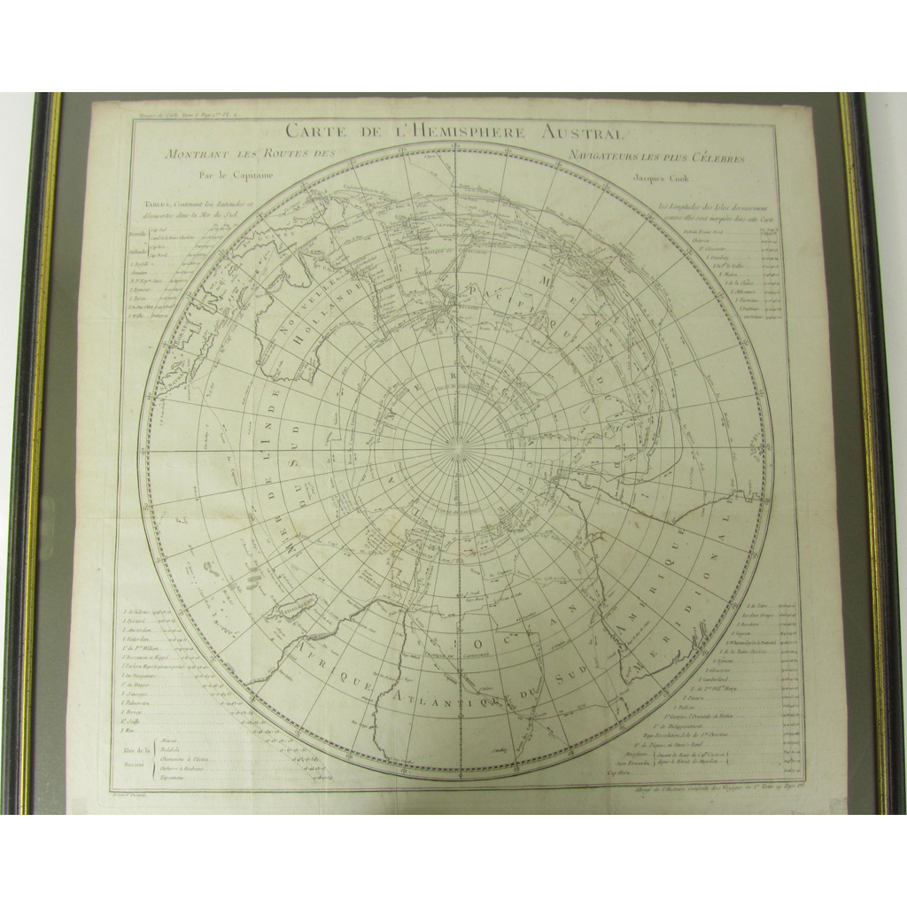
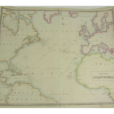
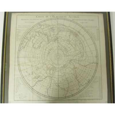
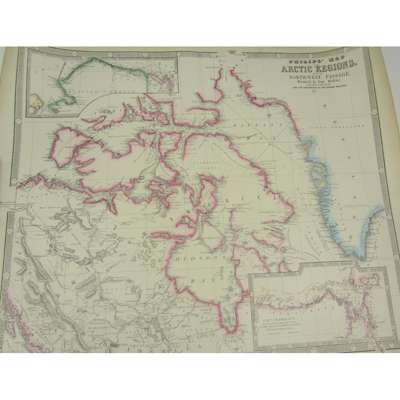
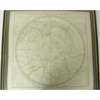
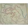
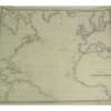
Carte de l'Hemisphere Austral. [Paris, 1780.] 575 x 595mm, framed and glazed, taken from Voyages de Cook, volume 1; Philip, George & Son, publishers Philips' Map of the Arctic Regions showing the North-West Passage. Liverpool: [n.d.] 536 x 658mm; [Idem] Chart of the Atlantic Ocean. Liverpool: [n.d.] 536 x 658 mm, hand-coloured in outline (3)