Lot 14
Delisle, Guillaume
Atlas Nouveau
Rare Books, Manuscripts, Maps & Photographs
Auction: 30 September 2020 at 11:00 BST
Description
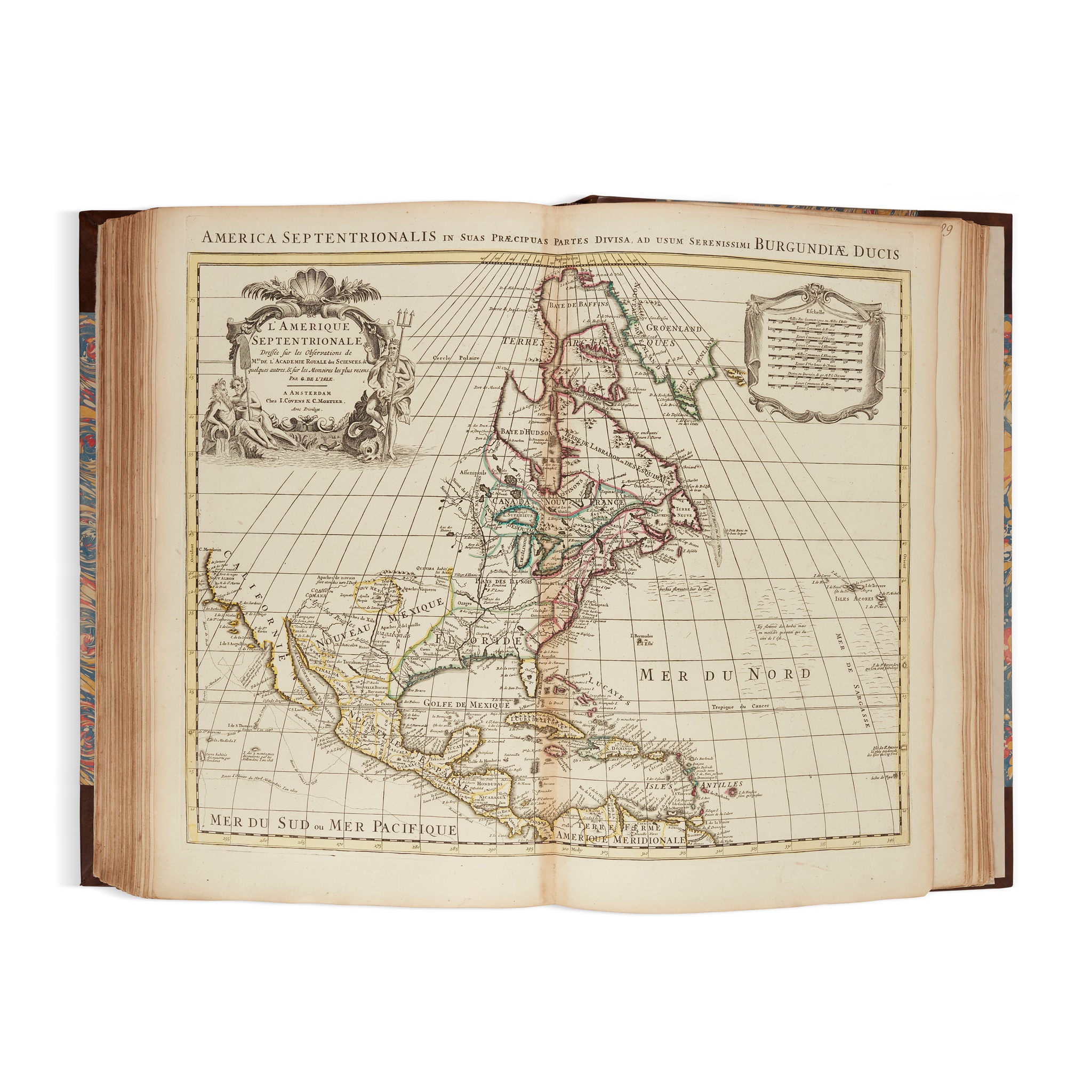
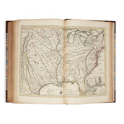
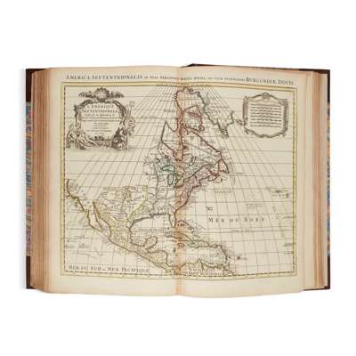
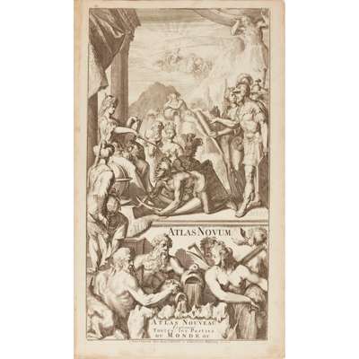
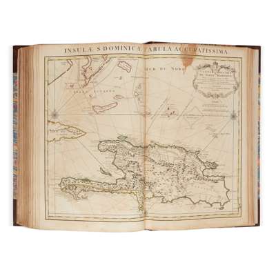
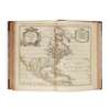
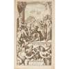
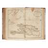
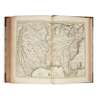
Contenant toutes les parties du Monde. Ou sont exactement Remarquées les Empires, Monarchies, Royaumes, Etats, Republiques &c., Amsterdam: Jean Covens & Corneille Mortier, [c.1745]. Folio, (530 x 330mm.), title printed in red and black with engraved vignette, additional engraved title ("Atlas Novum. Atlas Nouveau..."), [vi]. 32, [2 ("liste des cartes")], and 107 double-page or folding maps, hand-coloured in outline, text and maps mounted on original guards throughout (some guards neatly strengthened), finely rebound in period style half calf, marbled sides, spine gilt, raised bands, red morocco lettering piece, occasional light spot, small stain to Saint Domingue map, most maps with light discolouration at centre fold (where attached to guard)
Footnote
Note: A handsomely rebound, very good copy of a later Dutch edition of a French atlas. Delisle's map Carte de la Louisiane et du Cours du Mississipi, originally published in 1718, was the first printed map to show Texas. The present map shows New Orleans - "Nouvelle Orleans".