Lot 358
![[The Thames] Tombleson](https://media.app.artisio.co/media/104cbde6-0d38-43cb-9e0f-bb721ef57bcf/inventory/d6a24928-1845-4c2f-b2b9-830cd080059e/43c745b5-7e47-4fb3-8580-853afe4374a6/0001_cnQAEN_original.jpg)
[The Thames] Tombleson
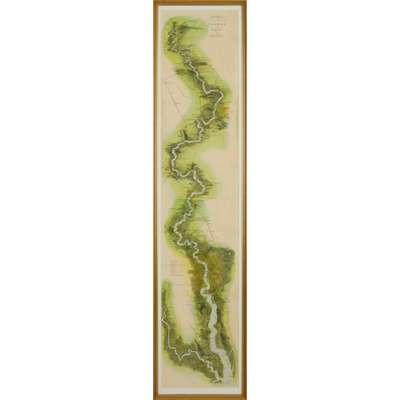
Tombleson’s Panoramic Map of the Thames and Medway


Rare Books, Manuscripts, Maps & Photographs
Auction: 19 June 2024 from 10:00 BST
Estimate: £300 - £500
Description
London: G.W. Bacon & Co. Ltd. [n.d., 1850?]. Hand-coloured engraved folding map of the Thames River's course from Thames Head to Southend, 130 x 25cm (framed 136 x 32cm), original horizontal folds, a few light creases, one light pencil inscription (not examined out of frame)
Footnote
An uncoloured version of this map was originally published with Tombleson's Thames by W.G. Fearnside in 1834.

