Lot 94
Blome, Richard
[A bound collection of county maps]
Rare Books, Manuscripts, Maps & Photographs
Auction: 07 February 2024 from 10:00 GMT
Description
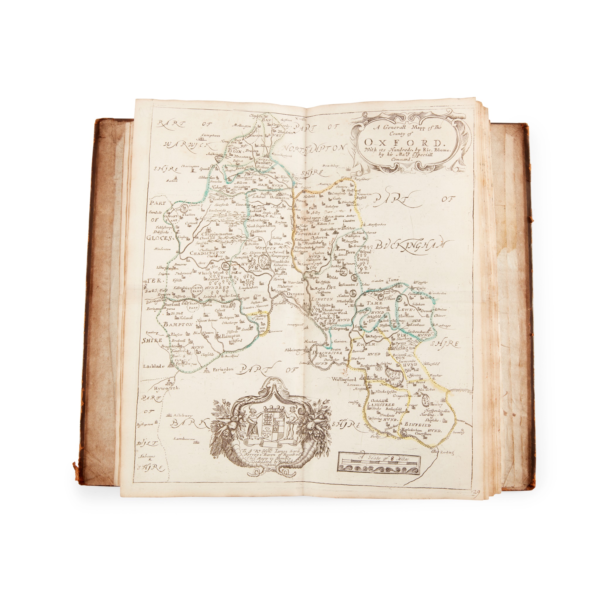
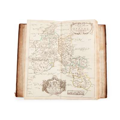
London: some maps dated between 1669-1672, comprising 49 maps:
"A Generale Mapp of the Isles of Great Brittaine...", Buckinghamshire, Bedfordshire, Berkshire, Cumberland, Cornwall, Chester [Cheshire], Cambridgshire, Durham, Dorsetshire [Dorset], Devonshire [Devon], Derbyshire, Essex, Gloucestershire, Huntingdonshire, Hereford [Herefordshire], Hertfordshire, Hampshire, Kent, Lincolnshire, Leicestershire, Lancaster [Lancashire], Monmouthshire, Middlesex (coloured outlining), Nottinghamshire (some manuscript corrections/erasures to place names), Northumberland, Northamptonshire, Norfolk, Oxfordshire, Rutland, Sussex, Surrey, Suffolk, Staffordshire, Somerset, Shropshire, Worcestershire, Wiltshire, Westmorland, Warwickshire, South Wales, North Wales, Richmondshire, Yorkshire, Yorkshire - West Riding, Yorkshire - East Riding, Yorkshire - North Riding, "A Mapp of the Isles of Wight, Jarsey, Garnsey, Sarke, Man, Orcades, and Shetland", and a map of England and Wales hand-coloured in outline by Philip Lea, 18th century calf, small folio (34 x 20cm), Stevenson and another ownership inscription, some light dampstaining
Footnote
FROM THE LIBRARY OF THE STEVENSON LIGHTHOUSE ENGINEERS