Lot 150
Martin, R. Montgomery
The Illustrated Atlas, and Modern History of the World
Rare Books, Manuscripts, Maps & Photographs
Auction: 07 February 2024 from 10:00 GMT
£3,024
Description
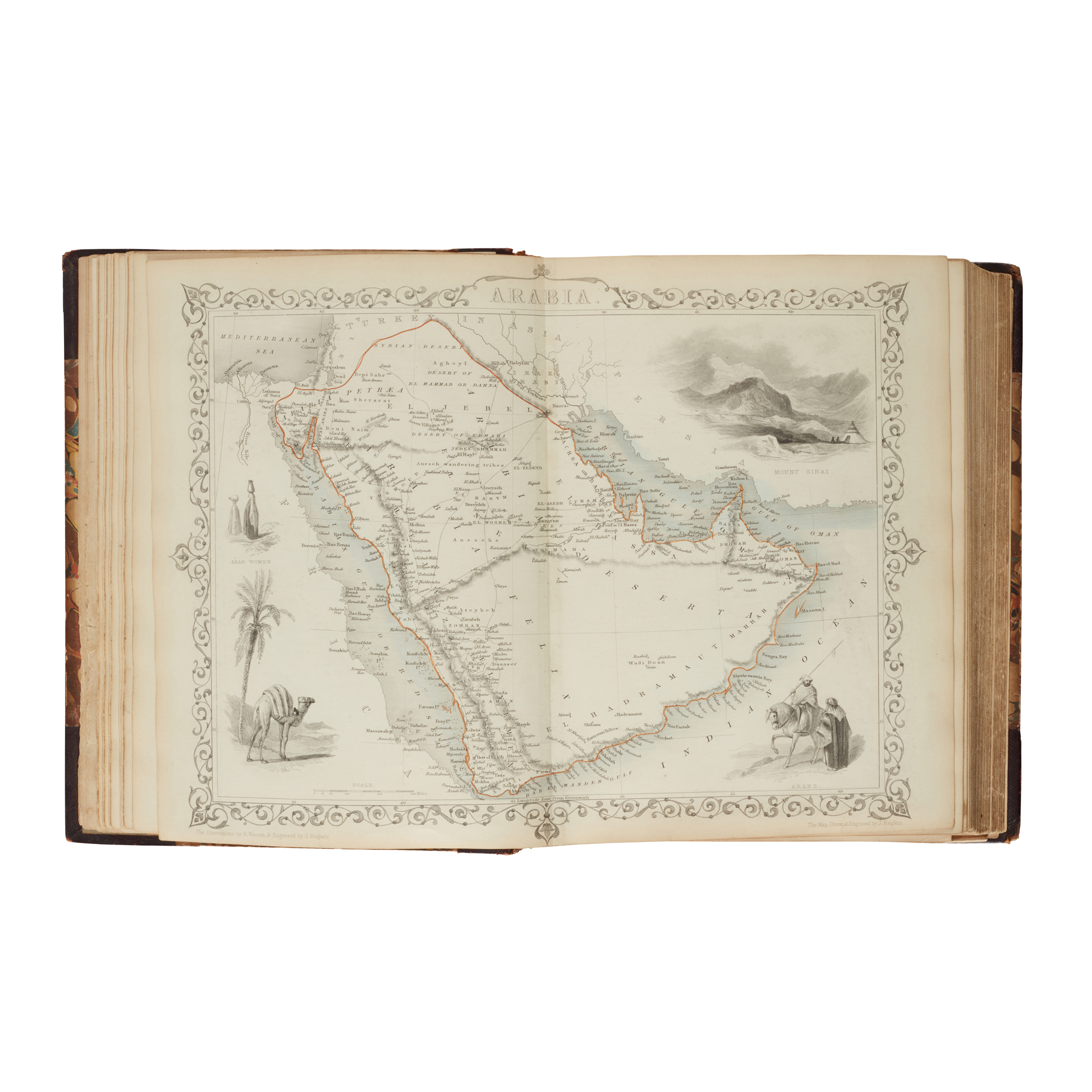
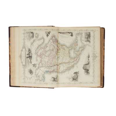
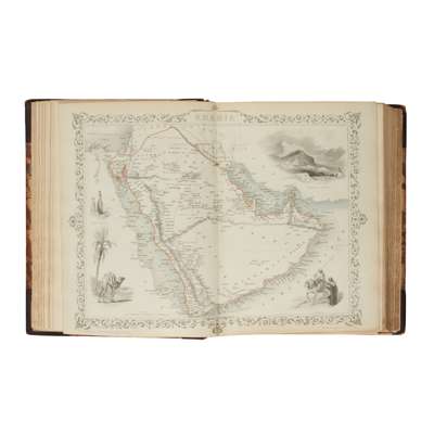
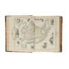
London: J. & F. Tallis, c.1850. 4to, contemporary maroon half roan, engraved title-page, 79 engraved folding maps hand-coloured in outline (opening to 26.4 x 35.4cm), all with several inset scenes and views, engraved uncoloured folding plan of Plymouth, title-page and a few maps (Africa, British Isles, Scotland) loose, contents pages supplied in contemporary manuscript, light toning, several maps (e.g. France, British India, Northern Italy, Spain/Portugal) with splits to ends of along central fold, sold as a collection of maps, not subject to return