Lot 109
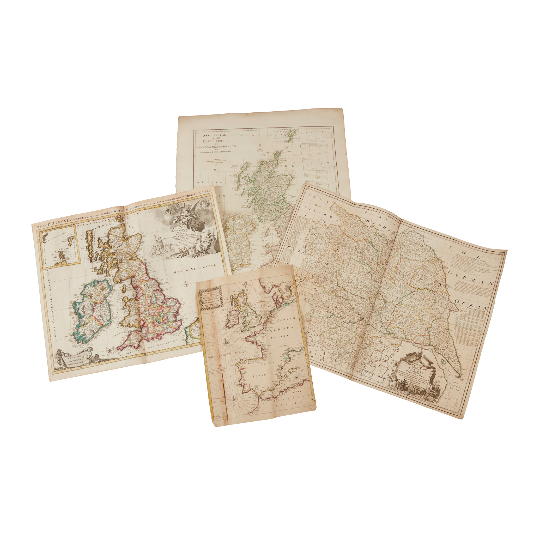
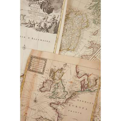
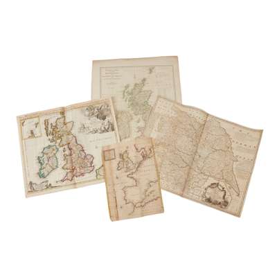
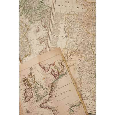
Maps of England and the British Isles
A collection

Rare Books, Manuscripts, Maps & Photographs
Auction: 07 February 2024 from 10:00 GMT
£1,197
Description
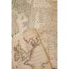
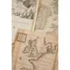
Jaillot. Magnae Britanniae Tabula… [Paris, n.d.] 53 x 63cm, hand-coloured;
Bowen, Emanuel. An Accurate Map of the County of York… London, [n.d.] 55 x 71cm, hand-coloured in outline;
Senex, John. A New Map of Great Britain. London, [n.d.], 101 x 67cm, hand-coloured in outline;
Thomson. Remote British Islands. London, 1817, 54 x 71cm, hand-coloured in outline;
Kitchin, Thomas. An Accurate Map of England and Wales… London: John Bowles, [n.d.] 74 x 57cm, hand-coloured in outline;
and 11 others, generally worn with some soiling and tears
(16)
Footnote
FROM THE LIBRARY OF THE STEVENSON LIGHTHOUSE ENGINEERS