Lot 19
Wilkinson, Robert
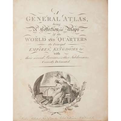
A General Atlas

Rare Books, Manuscripts, Maps & Photographs
Auction: 21 September 2023 at 10:00 BST
Description
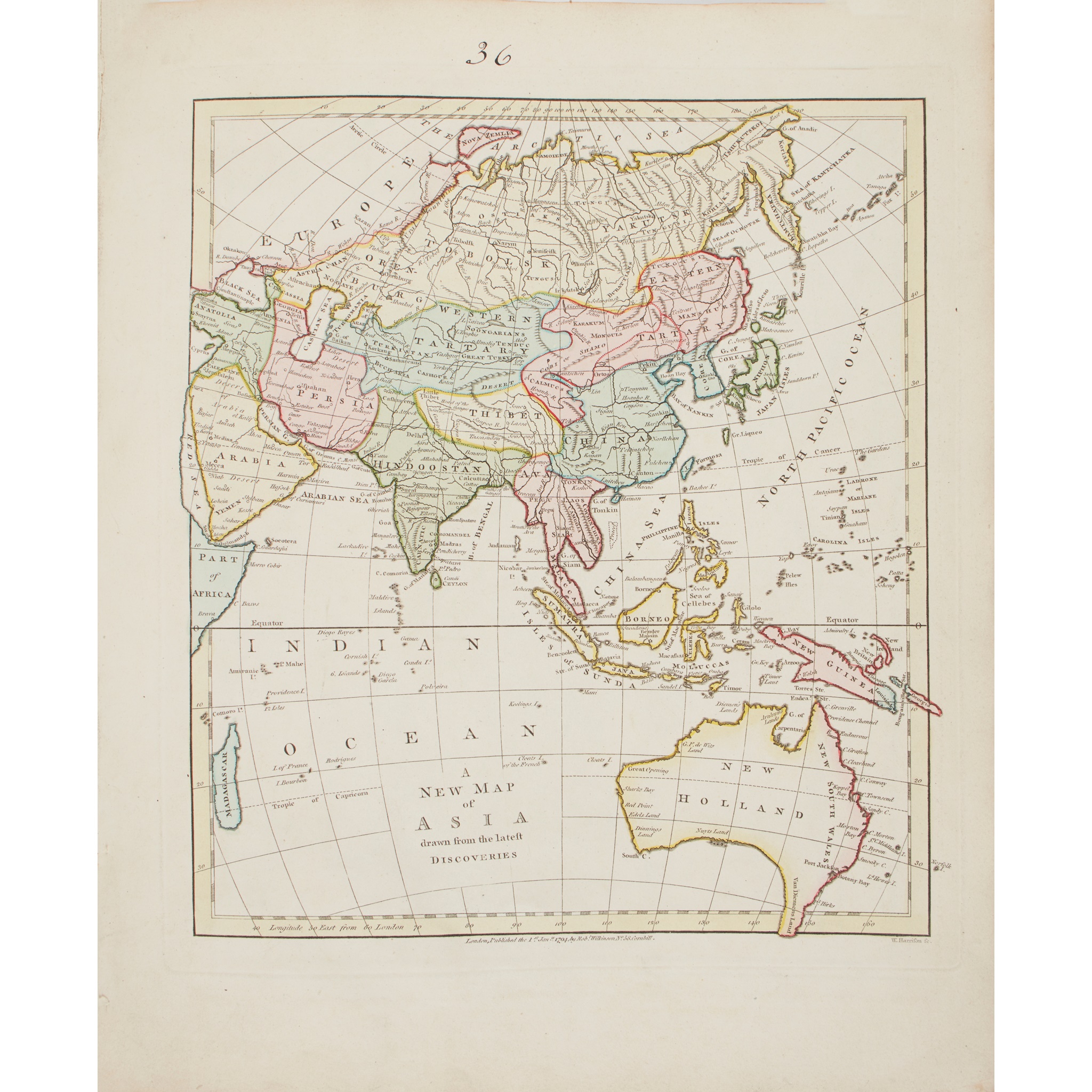
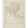
being a Collection of Maps of the World and Quarters the Principal Empires, Kingdoms etc. with their several Provinces, and other Subdivisions correctly delineated. London: Robert Wilkinson, 1794. 4to (33.6 x 27cm), contemporary limp sheep, engraved title-page, letterpress preface and contents leaf, 48 hand-coloured engraved maps (2 double-page), binding defective and contents loose, double-page map of the world with split to foot of central fold, linen-tape reinforcement along inner margins of a few maps [ESTC N474816]
Footnote
Note: Very rare: ESTC cites three copies in libraries worldwide (National Trust, McMaster and Library of Congress). Notable maps include: 'A New Map of Asia drawn from the Latest Discoveries', showing Australia as 'New Holland' with Van Diemen's Land (Tasmania) contiguous with the main landmass; 'A New and Accurate Map of the Southern Provinces of Hindoostan, shewing the Territories ceded by Tippoo Saib, to the Different Powers', with the territories of the British, the Nizam of Hyderabad, the Marathas and Tipu Sultan picked out in different colours; 'China, drawn from the Latest and Best Authorities'; 'An Accurate Map of the Islands and Channels between China and New Holland'; 'A New and Accurate Map of Africa 1794'; 'A New Map of North America, agreeable to the Latest Discoveries', including the names of the Native American tribes and the western seaborn named as 'New Albion'; 'A Map of the United States of America, with Part of the Adjoining Provinices from the Latest Authorities','An Accurate Map of the West Indies, from the Latest Improvements'; 'A New Map of South American drawn from the Latest Discoveries'; and others.