Lot 22
Atlases
A collection of 5 works
Rare Books, Manuscripts, Maps & Photographs
Auction: 22 September 2021 at 11:00 BST
Description
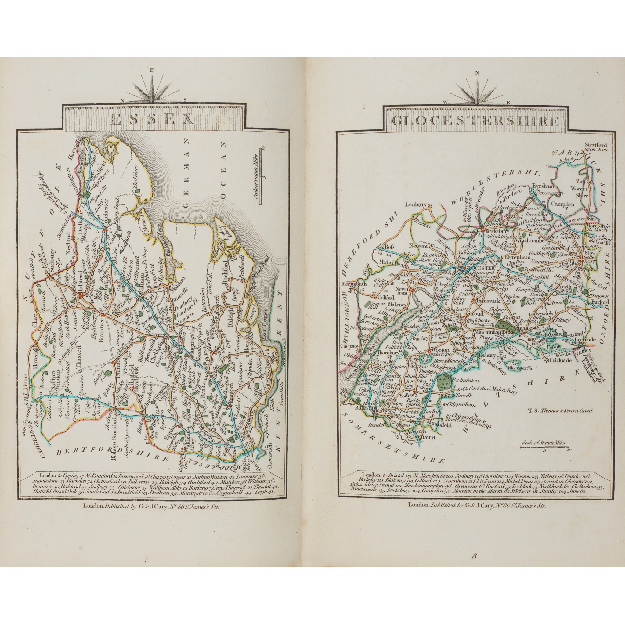
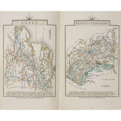
Cary, John Cary's Traveller's Companion... London: G. & J. Cary, 1828. 8vo, 42 single-page maps and folding map of Yorkshire (with closed tear), hand-coloured in outline, contemporary calf, rebacked; Plans of various Lakes and Rivers between Lake Huron and the River Ottawa... Toronto: John Lovell, 1857. 4to, 22 folding maps, red half morocco, rubbed; Moll, Herman A Set of Thirty-Six New and Correct Maps of Scotland. Stirling: R.S. Shearer & Son, 1896. Oblong 4to, contemporary quarter cloth; Oliver, Frank - Department of the Interior Canada Atlas of Canada. Toronto, 1906. Folio, original cloth; Brenna, Giovanni - Vittorio Angeli Carta-Topografica di Milano, 1833. 3 folding sections in original case (5)