Lot 16
2 bound folios of European maps comprising
Folio 1
Rare Books, Manuscripts, Maps & Photographs
Auction: Day One: 24 February 2021 | From 10:00
Description
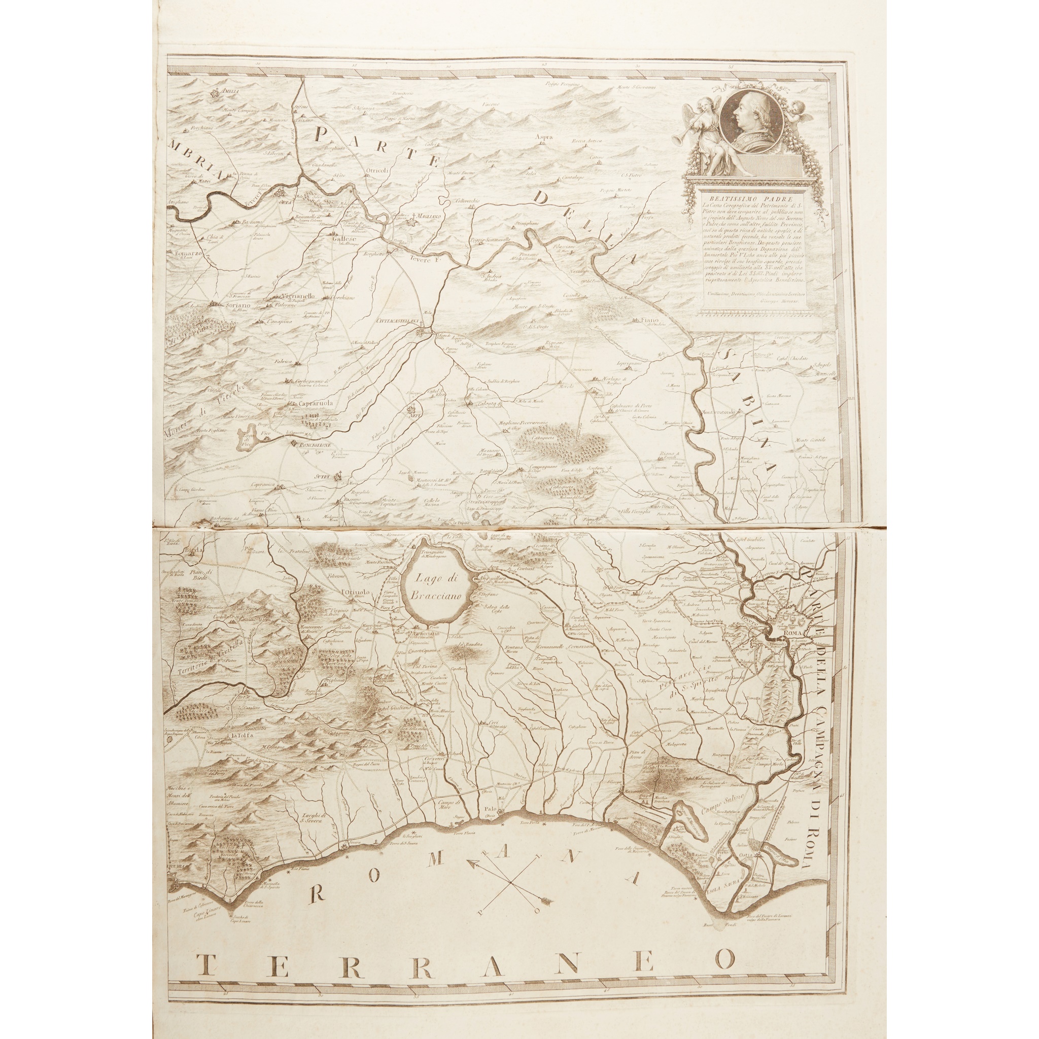
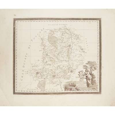
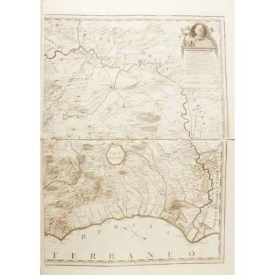
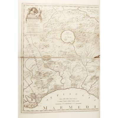
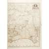
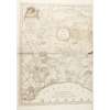
Carta del Territorio d'Orvieto e territorio di Perugia. Rome, 1803, engraved by Bernard Olivieri, 45 x 50cm; Carta del Patrimonio di S. Pietro. Rome, 1802, engraved by Bernardo Olivieri 47 x 51cm, Il Patrimonio di S. Pietro... inciso dal P.D. Gio Ma. Cassini. Rome, 1791, large scale map on 4 sheets, each sheet 41 x 59cm, contemporary roan-backed cloth, worn
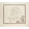
[Folio 2:] Cassini de Theury Map of the Kingdom of France, according to the Treaty of Paris. Sold by W. Faden. Large engraved map on 4 sheets joined, together 123 x 118cm, small split at one fold; De Zauche. L'Italie dresée sur les observations de l'Academie des Sciences. Paris: De Zauche, 1817, engraved map hand-coloured in outline, 51 x 65cm; Delisle, Guillaume Carte de l'Espagne. Paris: Dezauche, [n.d, but c. 1817], 49 x 62cm; Walch, J. Karte von der gefürsteten Grasschaft Tyrol. Augsburg: J. Walch, 1808, engraved map hand-coloured in outline, 51 x 61cm; Winkelhofer, August Das Fürstenthum Salzburg. Nürnberg: Schneider u. Weigelschen Landkartenhandlung. 1828, engraved map hand-coloured in outline, 65 x 48cm; Anich, Peter Carte von Tyrol nach Peter Anich. Vienna: Tranquillo Mollo, 1828, engraved map hand-coloured in outline, 2 sheets joined, together 87 x 88cm; Nolin Cate de la Pologne. Paris: Jean, "revue 1831", engraved map, hand-coloured in outline, 47 x 59cm, 19th century quarter cloth folder, folder soiled