Lot 96
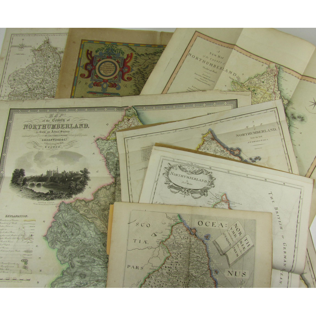
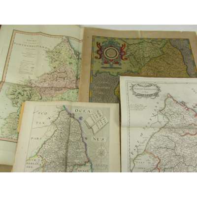
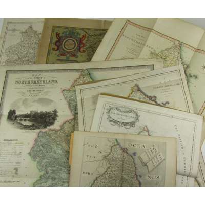
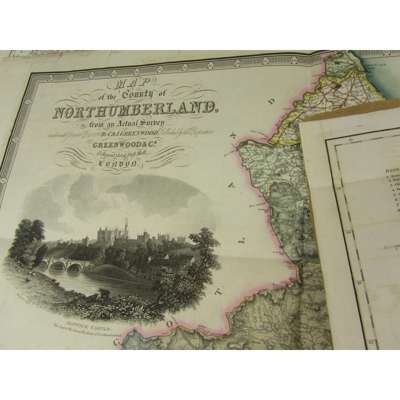
Northumberland - 7 maps, comprising:


Rare Books, Manuscripts, Maps & Photographs
Auction: 4 May 2016 at 12:00 BST
Description
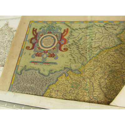
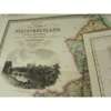
Mercator, Gerhard and Henrik Hondius. Northumbria, Cumberlandia et Dunelmensis Episcopatus. [Amsterdam, c.1620], double-page engraved map, hand-coloured, French text on verso, browning, split at fold, 351 x 467mm.; Smith, C. A new Map of the County of Northumberland. London: C. Smith, 1804, 2nd edition, corrected to 1808, hand-coloured folding engraved map, 538 x 470mm.; Saxton, C. & W. Hole Northumbriae. [1637], Engraved map, hand-coloured in outline, with accompanying text from Camden's Britannia; Greenwood, C. & J. Map of the County of Northumberland. Jan. 1 1831, hand-coloured folding engraved map, 590 x 615mm., small hole at key repaired; Cary, J. A Map of Northumberland. [1789], engraved map, hand-coloured in outline, with accompanying text from Camden's Britannia (1789); Mordern, R. Northumberland. [1722], Engraved map hand-coloured in outline, 416 x 355mm., with accompanying text from Camden's Britannia (1722); and a J. Cary map of Northumberland, 260 x 210mm.
Footnote
Provenance: Appleby Castle Library, Appleby Castle, Westmorland