Lot 43
Cumberland, Westmorland and Lancashire, maps, including Saxton, C.

Rare Books, Manuscripts, Maps & Photographs
Auction: 4 May 2016 at 12:00 BST
Description
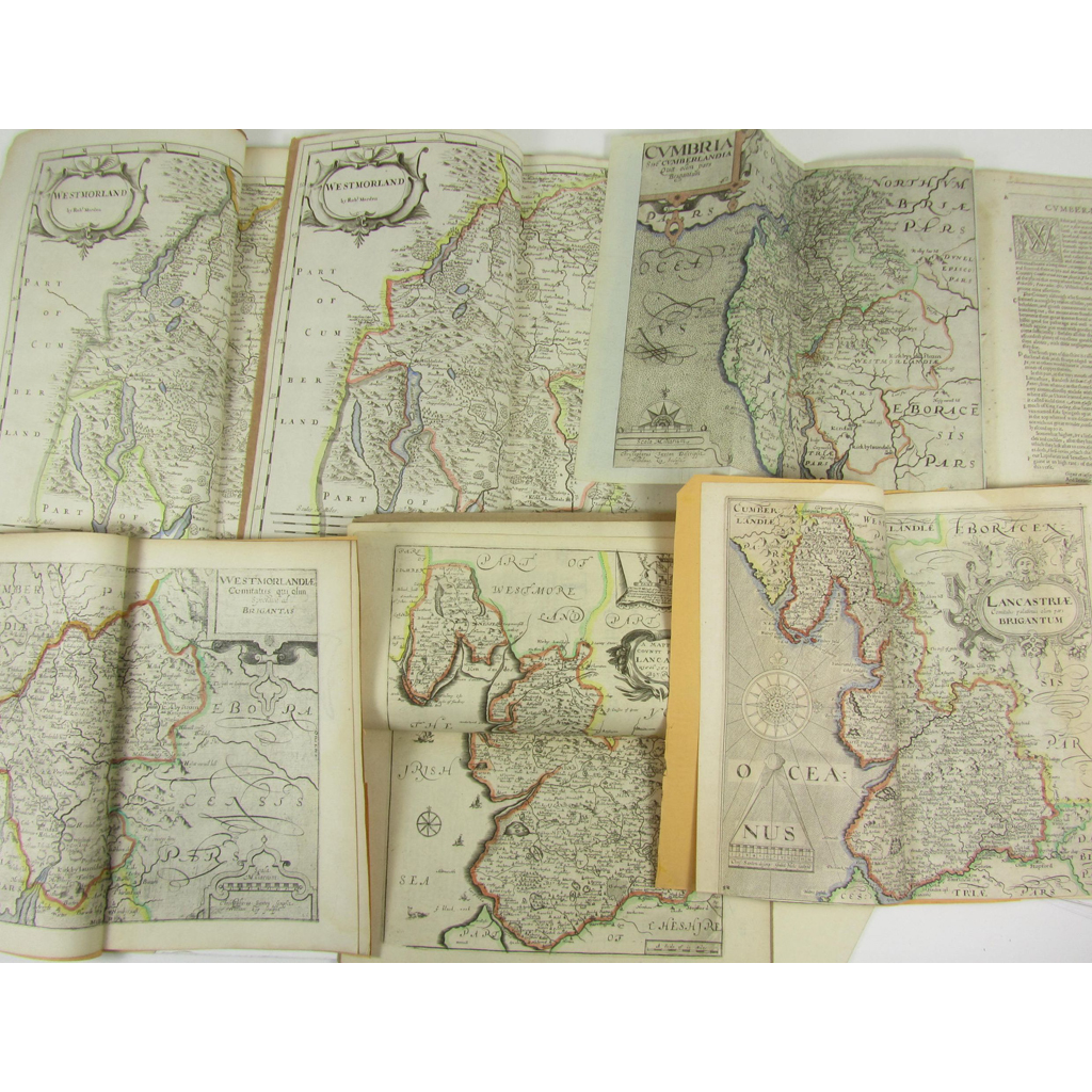
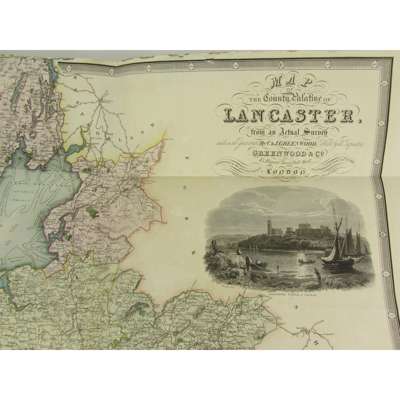
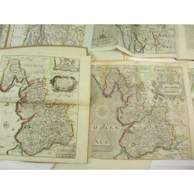
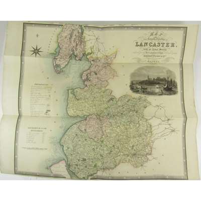
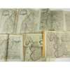
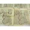
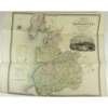
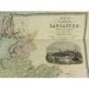
Cumbria sive Cumberlandia. Engraved map, hand-coloured in outline, 280 x 320mm., with accompanying text from Camden's Britannia (1610), laid down; Mordern, R. Westmorland. 360 x 418mm. Engraved map, hand-coloured in outline, with accompanying text from Camden's Britannia (1695; another copy: 1722, hand-coloured in outline; Saxton, C. Westmorlandiae. Engraved map, hand-coloured in outline, 260 x 310mm., with accompanying text from Camden's Britannia (1610); Saxton, C. Lancastriae. Engraved map, with accompanying text from Camden's Britannia (1637), foot of map trimmed; Blome, R. A Mapp of ye County Palatine of Lancaster. Engraved map, hand-coloured in outline, 320 x 255mm., with accompanying text; Greenwood, C. & J. Map of the County Palatine of Lancaster, Feb. 24th 1830, 630 x 683mm. Hand-coloured engraved map, inset view, very small marginal tear; and small plan of Manchester & Salford, 1807, small plan of Liverpool, 1807, small map of Lancashire, 1807 (10)
Footnote
Provenance: Appleby Castle Library, Appleby Castle, Westmorland