Lot 159
Railway Map - George Bradshaw


Rare Books, Manuscripts, Maps & Photographs
Auction: 4 May 2016 at 12:00 BST
Description
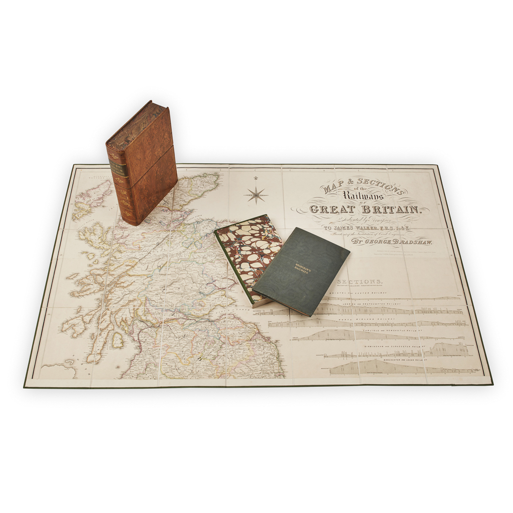
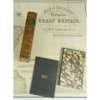
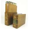
Map & Sections of the Railways of Great Britain. Manchester: G. Bradshaw, 1839. First edition, large engraved map, dissected and backed on linen, hand-coloured in outline, in two large folding sheets edged in green silk, each measuring 102 x 94 and 102 x 60 cm., [together the the separately published] Tables to the Gradients to Bradshaw's Map of the Railways of Great Britain Manchester, 1839, 8vo, original cloth, both contained in the original tree calf pull-off case
Footnote
Note: First edition of the first major British railway map.
Published by George Bradshaw the year after the opening of the London & Birmingham and a year before the opening of the Great Western, the map shows every line which had been sanctioned by Parliament. Reduced from the Ordnance Survey and with a scale of 10 lines to the inch, 'the different lines of railway have been laid down by the engineers employed in super-intending their construction.' The map went into several later editions, as did the Tables of the Gradients. Ottley 2523 (Tables of Gradients, map not in Ottley); Skempton 125.