Glasgow and Lanark - Charles Ross of Greenlaw
£3,200
Rare Books, Manuscripts, Maps & Photographs
Auction: 2 September 2015 at 12:00 BST
Description
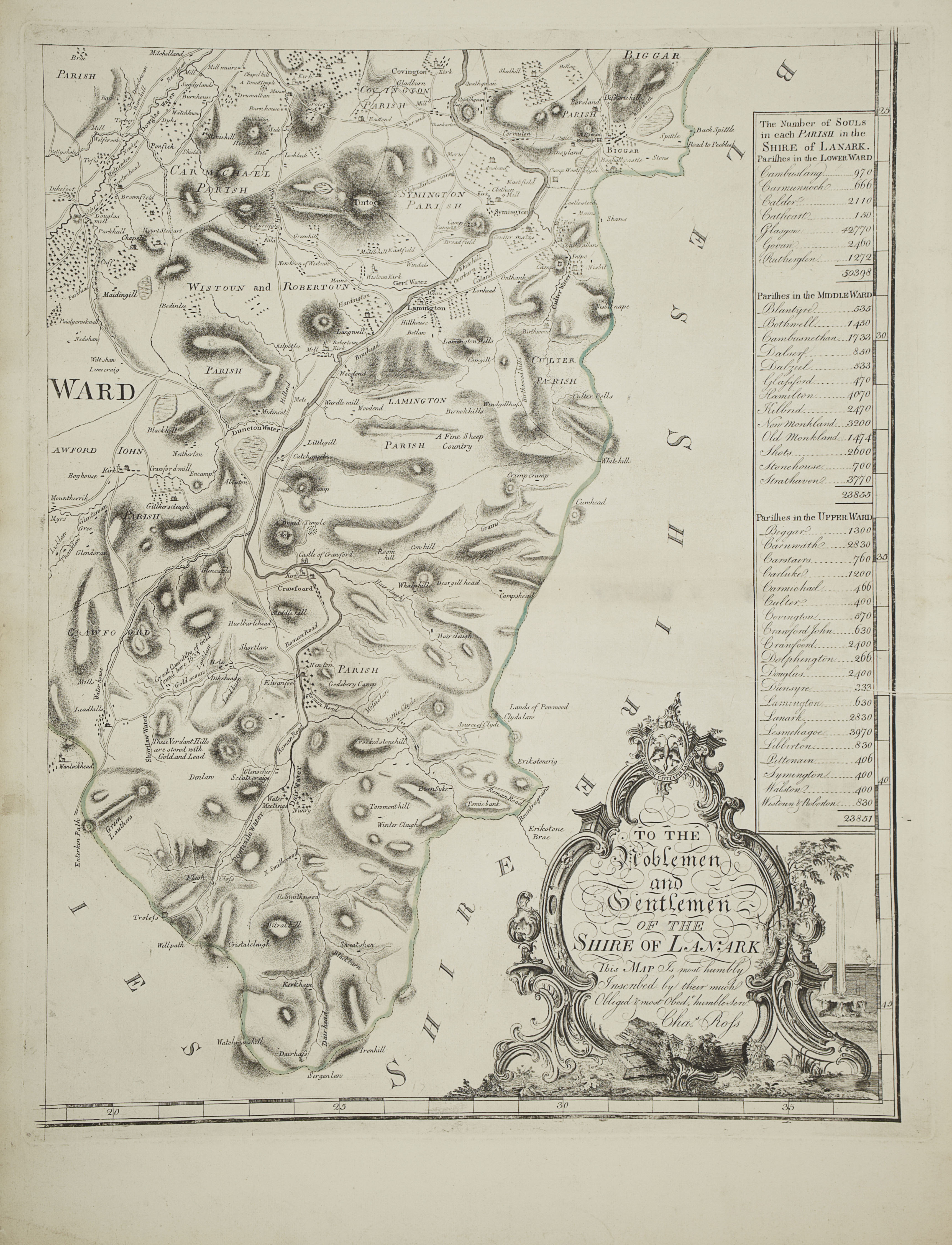
A map of the shire of Lanark, by Charles Ross of Greenlaw & engraved by Geo. Cameron. 1773. Large engraved map on 4 sheets, each sheet 76 x 54cm., hand-coloured in outline, inset plan of Glasgow, cream window mounts
Footnote
Note: After the Union with England (1707) new agricultural practices, which were in use in England, were increasingly taken up and implemented by Scottish landowning Estates. In effect the agricultural landscape was reshaped from irregular shapes plots or rigs (strips of land) into large rectangular or square fields, with well defined boundaries, thereby making the land easier to work and also making it more productive. This was of course of benefit to the landowners more than to the tenants and workers of the land.
The key to making these changes/improvements to land management was an accurate and detailed survey of the land belonging to the landowner showing pertinent details of the landscape and noting relevant details which may affect the productivity or use of the land. In addition to producing large scale 'Estate Plans' solely for the landowners use, surveyors often surveyed adjoining land in the hope of securing commissions from neighbouring landowners.
Charles Ross of Greenlaw, (near Paisley), had training as a factor on the Hawkhead estate, and it would appear that his surveying skills were sufficient for him to be regarded as a surveyor from 1744, drawing plans for several of the local noblemen and gentry, including Sir James Colquhoun of Luss.
[D. Moir. The Early Maps of Scotland, vol. 1 p. 114-123; vol. 2, p.149.]