Lot 52
Collection of maps, including Green, John
Rare Books, Manuscripts, Maps & Photographs
Auction: 2 September 2015 at 12:00 BST
£688
Description
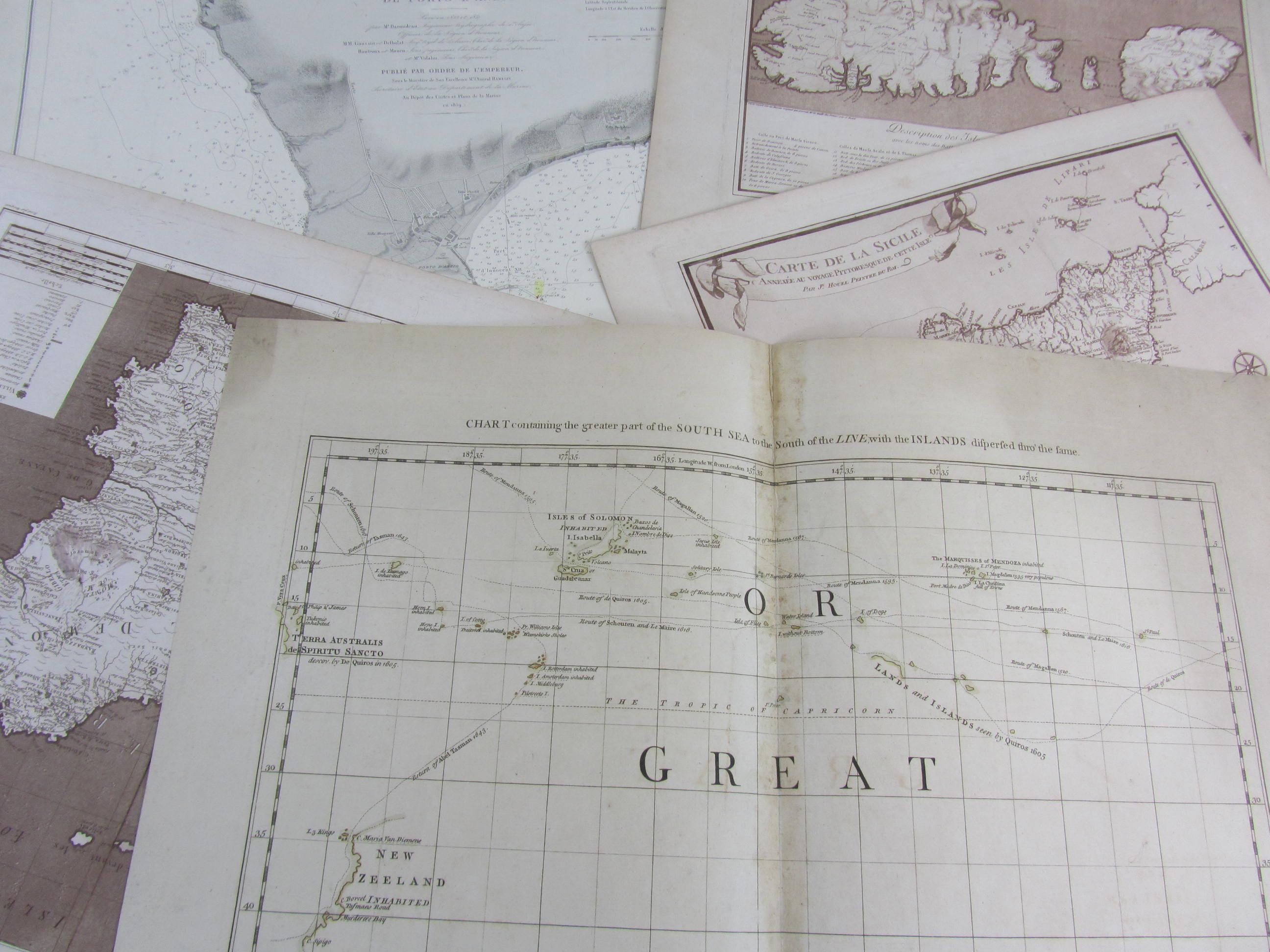
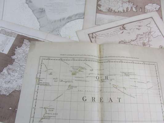
Chart containing the greater part of the South Sea to the South of the Line. London: T. Jefferys, 1753, engraved map hand-coloured in outline, backed on linen, central discolouration; Houel, Jn. Carte de la Sicile. [Paris, 1785], Description des Isles de Malte, du Cuming et du Goze. [Paris, 1785]; Carte geographique de la Sicile. [Paris, 1785], bistre engraved maps; 11 French Mediterranean maps by the Depot-general de la Marine [1833-60]; 2 by Direction Generale des Services Hydrographiques de la Marine, 1886; 1 of Mediterranean by the Admiralty, 1895; and some modern facsimiles; sold not subject to return (c.25)