Lot 76
Scotland - Adair, John
Printed Books, Maps and Manuscripts
Auction: 11 July 2006 at 12:00 BST
Description
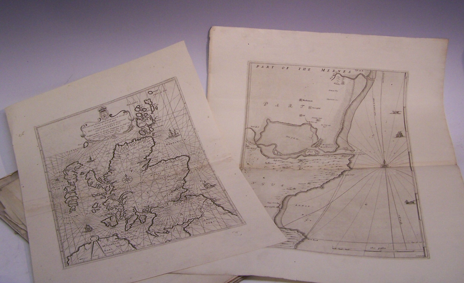
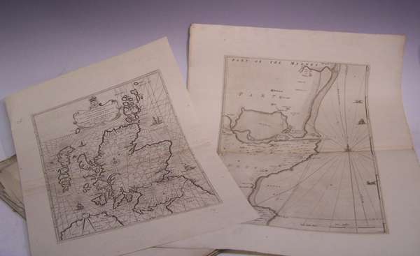
The Frith of Forth. [Edinburgh, 1703], size 71cm wide by 51cm high, uncoloured, previous folds; Ibid The Frith and River of Tay. [Edinburgh, 1703], size 75cm wide by 52cm high, uncoloured, previous folds, stain at centre fold; Ibid Holy-Island, Fairn Islands with the many Rocks and Hazards that lye Scatter'd in that Sea, and the Coast from Sunderland point in England to St Abbs-head in Scotland. [Edinburgh, 1703], size 59.5cm wide by 48cm high, uncoloured, discolouration at centre fold; Ibid A true and exact Hydrographical description of the Sea coast and Isles of Scotland. [Edinburgh, 1688], size 39cm wide by 52cm high, uncoloured, previous fold; Ibid The Town and water of Montross. [Edinburgh], 1693, size 47cm wide by 59cm high, previous fold; Ibid The coast of Scotland from Redhead to Aberdeen. [Edinburgh, 1703], size 47cm by 60cm, uncoloured, previous fold, section lacking in top right hand corner [no loss to map]; Paterson, G. & W. A survey of old and new Aberdeen. London, 1746, size 53cm wide by 40cm high, previous fold, some foxing and 7 other uncoloured maps of Scotland mainly by Blaeu (14)
Footnote
Note: NLS