Lot 70
Ortelius, Abraham
Printed Books, Maps and Manuscripts
Auction: 11 July 2006 at 12:00 BST
Description
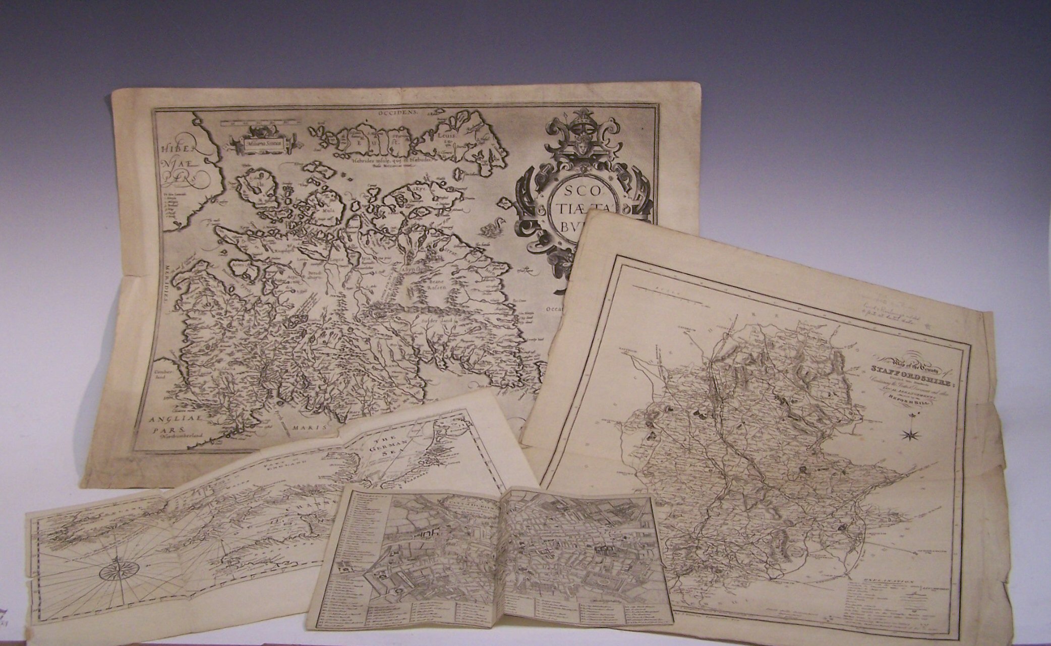
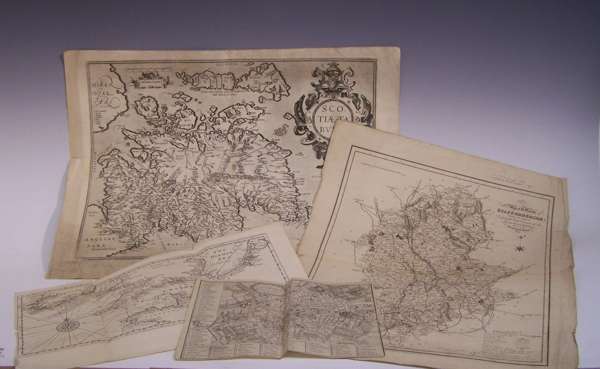
Scotiae tabula. Antwerp, [1573], approx 55cm wide by 41cm high, decorative cartouche, uncoloured, text on verso, discolouration at edges, previous folds, some tearing to fold and at edges; English Channel A correct chart of the English and St George's Channels with the adjacent coasts. No date, approx 42cm wide by 25cm high, uncoloured, previous folds, some chipping to edges; Dublin Plan of the city of Dublin taken from an actual survey for the Universial Scots Almanack. No date, approx 25.5cm wide by 20cm high, uncoloured, previous fold, trimmed; Duncan, James New map of the county of Staffordshire... London, c.1840, approx 40cm wide by 50cm high, uncoloured, previous folds, chipping to edges, some light spotting; Blaeu, J Le Theatre du monde ou nouvel atlas... Amsterdam, 1654, folio, volume V [Scotland and Ireland], hand coloured title page, all maps removed just text remaining, contemporary vellum gilt, worn, most of backstrip lacking, title page torn in lower margin, repaired at inner hinge and a late 17th Century folio of tables of villages/ towns across Europe (6)
Footnote
Provenance From the collection of J.G. Bartholomew, map publisher.