Lot 58
Fullerton and Co
Printed Books, Maps and Manuscripts
Auction: 11 July 2006 at 12:00 BST
Description
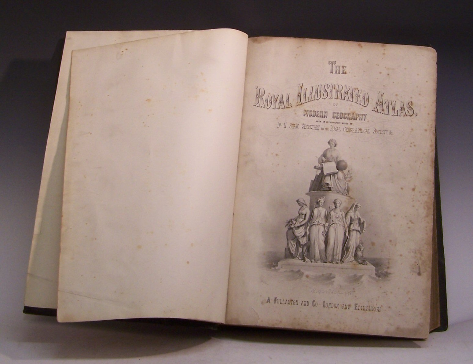
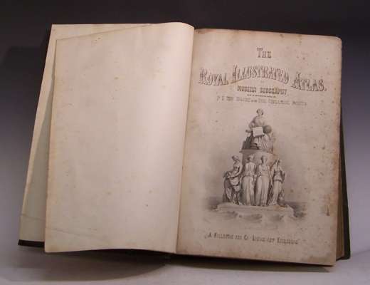
The Royal Illustrated Atlas of Modern Geography. London: A. Fullerton and Co, [c. 1865], folio, 76 lithograph maps [74 numbered plus 2 supplemental], engraved title, contemporary half green morocco gilt, a.e.g., marble endpapers, bookplate of John George Bartholomew, rubbed, inner hinges strengthened, foxing to title page,browning throughout, map 31 torn along centre fold, some small tears to edges of other maps
Footnote
Provenance: From the collection of J.G. Bartholomew, map publisher.
Note: Compared with the earlier edition of ca. 1860, some of the maps are new and others have been updated. The 'Royal illustrated tlas’ is an expanded version of 'The companion atlas to the gazetteer of the world’ by G.H. Swanston. Maps drawn by J. Bartholomew, J. Hugh Johnson, J. Macnab, Augustus Petermann, G.H. Swanston and A. Thom. (BM)