Lot 72
Thomson, John
Books, Maps, Manuscripts & Photographs
Auction: 26 May 2010 at 12:00 BST
Description
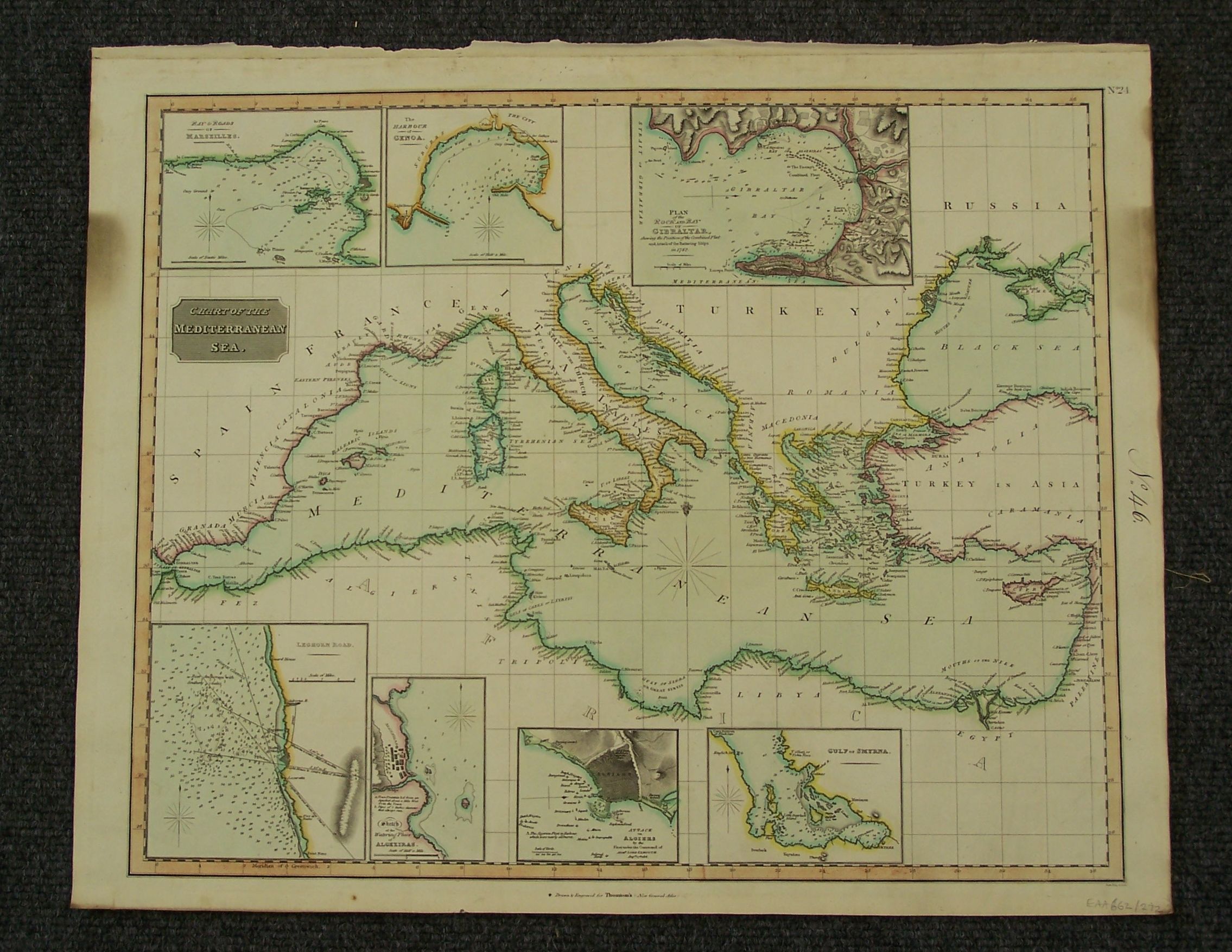
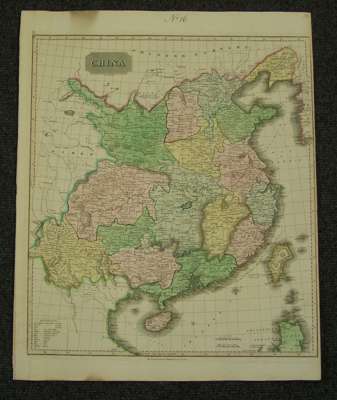
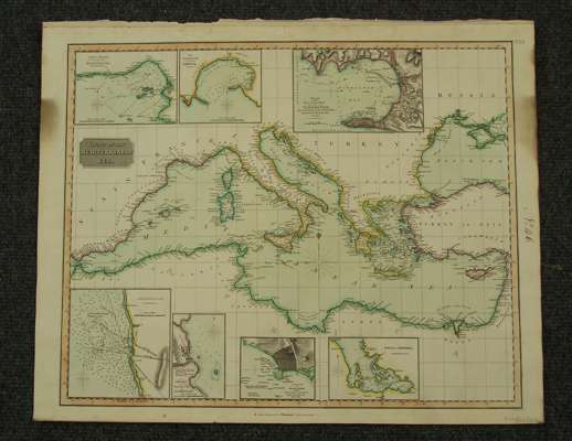
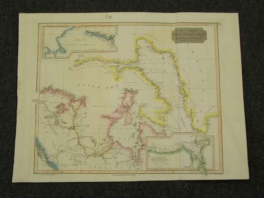
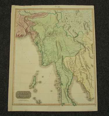
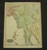
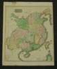
Comparative view of the heights of the principal mountains &c. in the world. 1816, hand-coloured double-page view; Comparative view of the lengths of the principal rivers in the world. 1807; Birman Empire, [c.1816]; 660 x 520mm.; China. [c.1816], 660 x 520mm.; Discoveries of Capts. Ross, Parry, & Franklin in the Arctic regions, from the year 1818 to 1827. London: Thomson's New General Atlas, [N.d.], 555 x 725mm., Lizars, W. & D. United States of America. Hand-coloured engraved map, 438 x 515mm.; Chart of the Mediterranean Sea. London: Thomson, [c.1816], 530 x 660mm.; Atlantic Islands. London: Thomson, 1814. 535 x 660mm., hand-coloured in outline, torn without loss; (8)