Lot 25
Austria and Germany -- Arrowsmith, A.


Books, Maps, Manuscripts & Photographs
Auction: 26 May 2010 at 12:00 BST
Description
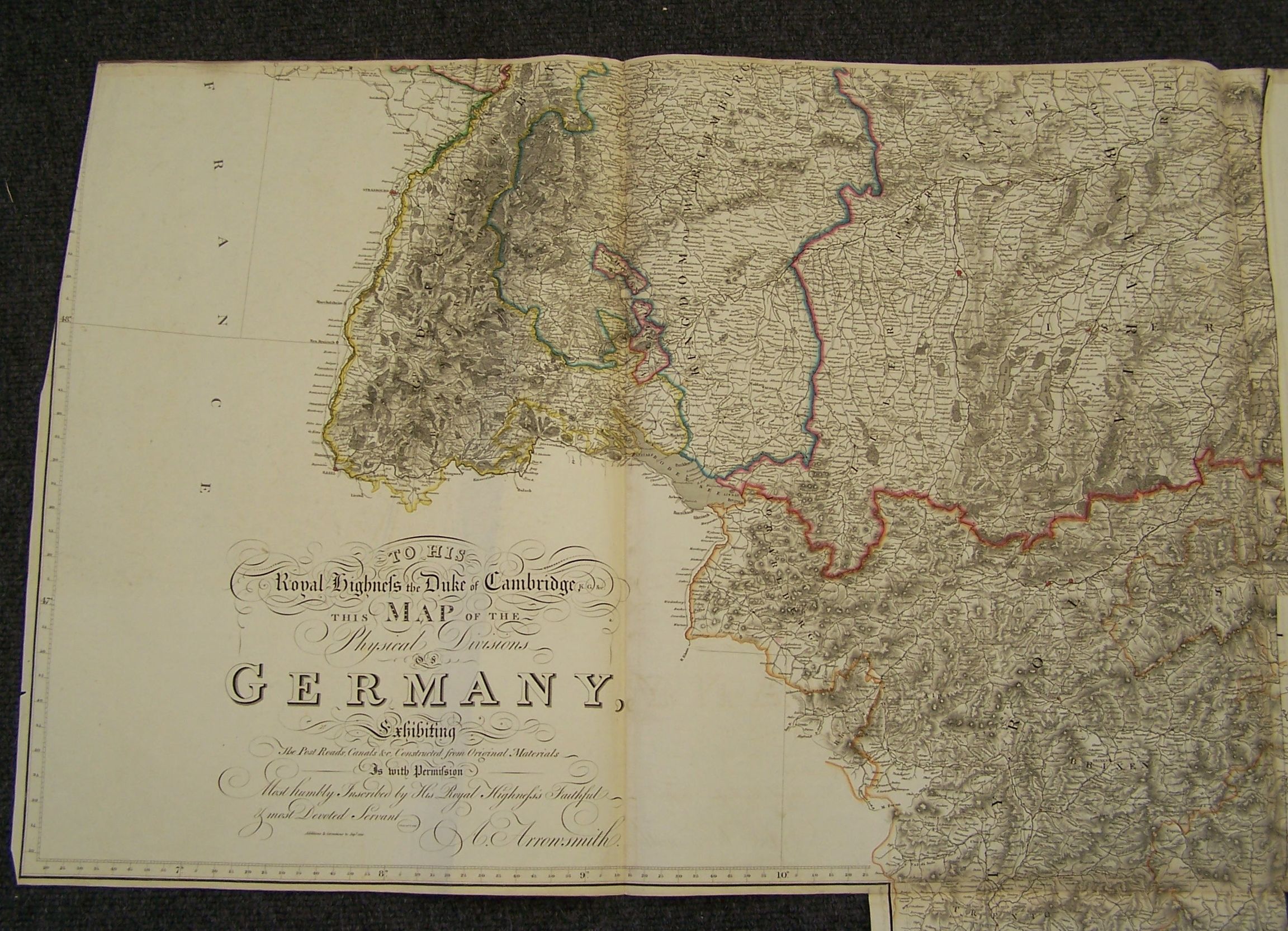
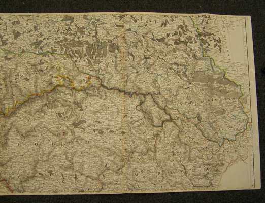
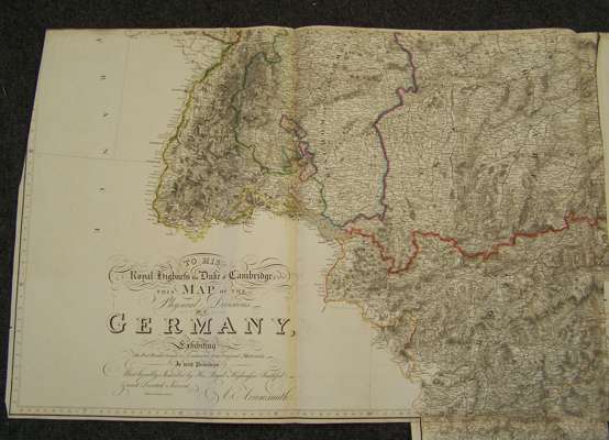
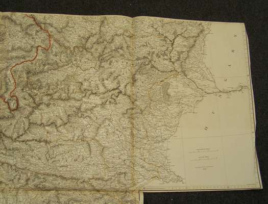
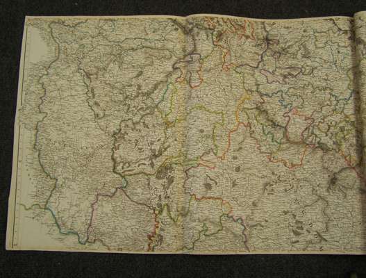
Map of the physical divisons of Germany. London: A. Arrowsmith, 1816. Engraved map, hand-coloured in outline, 6 sheets, each sheet 670 x 990mm., joined as three, with two additional small panels attached at foot, strengthened at folds and edges on verso; Weiland, C.F. General charte von dem Königreiche Hanover. Weimer: Geographischen Instituts, 1817. Engraved map, hand-coloured in outline, 630 x 860mm., Weiland, C.F. General charte von der Preussischen Monarchie. Weimar, 1817. Engraved map, hand-coloured in outline, 630 x 860mm.; Weiland, C.F. General Charte des Oestreichischen Kaiserstaats. Weimar, 1817. Engraved map, hand-coloured in outline, 630 x 860mm.; Faden, W. Map of the central states of Europe, situate between France and Russia, describing their new limits. London: W. Faden, 1816. Engraved map, hand-coloured in outline, 4 sheets, each sheet 667 x 770mm., joined as two, neatly strengthened at folds on verso (5)