Lot 38
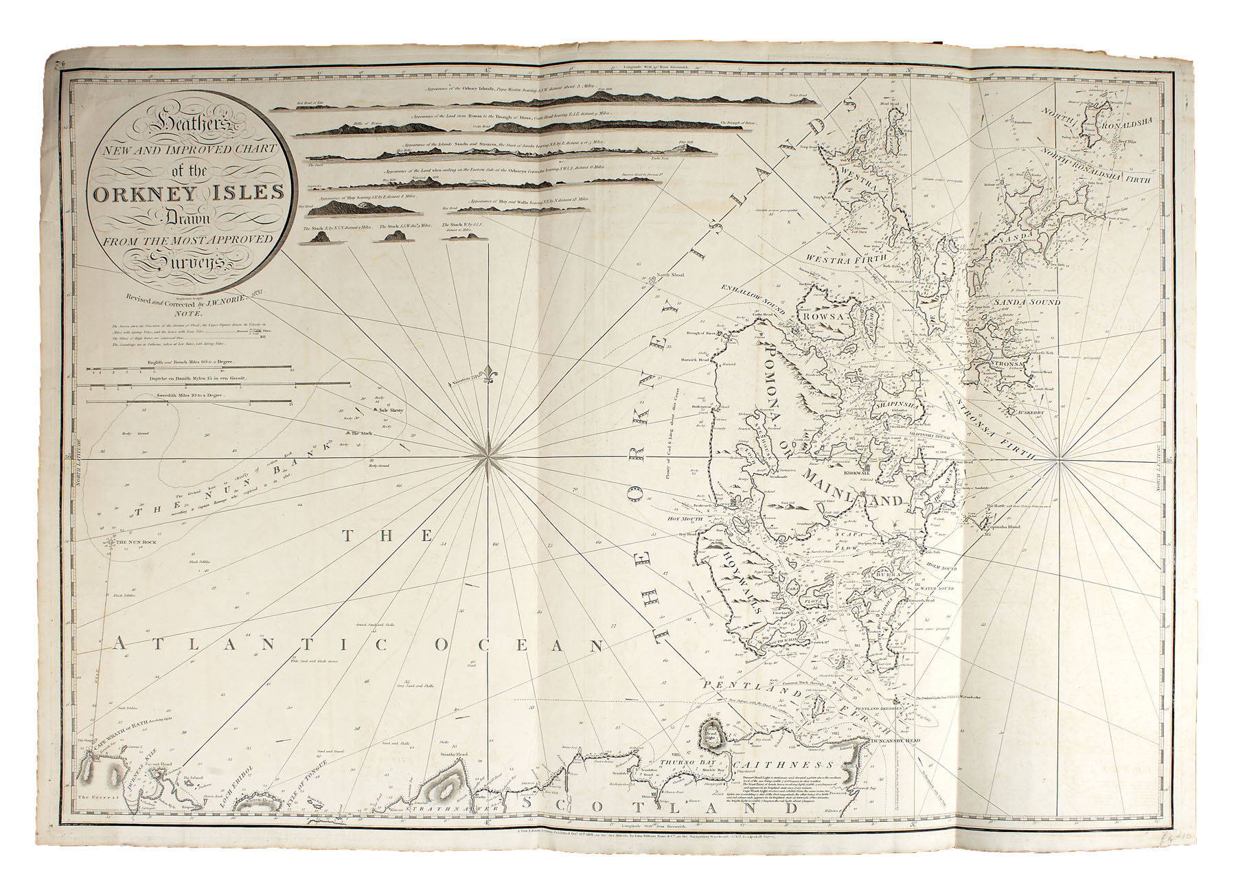
Orkney and Shetland Islands -- Brodie, J.
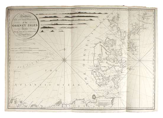
Auction: 26 January 2011 at 11:00 GMT
Description
A chart of that part of the North Sea from the Texel to the Naze of Norway. W. Faden, 1798, 61 by 89cm., folding map, edged in green cloth, offsetting; [Bellin] Cartes des isles de Hetland ou Schetland. [1764], 23 by 18.5cm; Norie, J.W. Heather's new and improved chart of the Orkney Isles... revised and corrected by J.W. Norie, 1831. Folding engraved map, 67 by 97cm.; Sanson, Nicolas Les Isles Orcadney, ou Orkney, Schetland, ou Hetland & de Fero, ou Farre. Paris: P. Mariette, 1685. Double-page engraved map hand-coloured in outline, 47 by 60cm.; Collins, Greenvile The chief harbours in the islands of Orkney. [?1781]. Double-page engraved map, hand-coloured in outline, 53 by 63cm., Briet, Father Les isles de Scheetland. [1649], 9 by 11cm., Latin text on verso; Keer, Petrus Cathanes and Orknay Ins., [1599], 8.5 by 12cm., engraved map, hand-coloured in outline, English text on verso; Kitchin, T. A map of Orkney Shire. 16 by 18cm., stuck down on board; and 1 other, laid down (9)