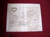
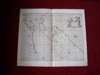
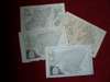
Lot 40
Scottish counties - Adair, John
Auction: 16 May 2008 at 12:00 BST
£2,880
Description
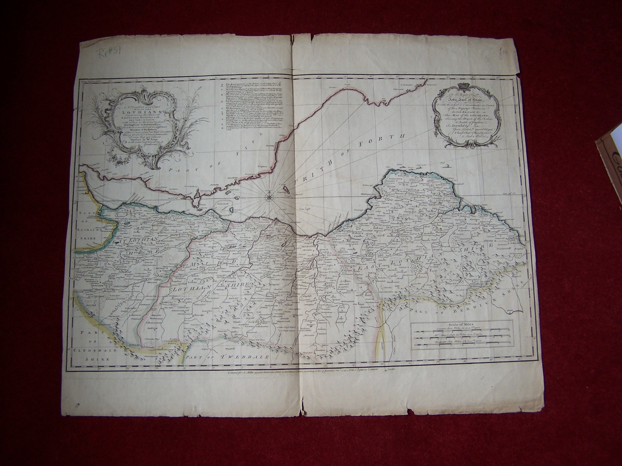
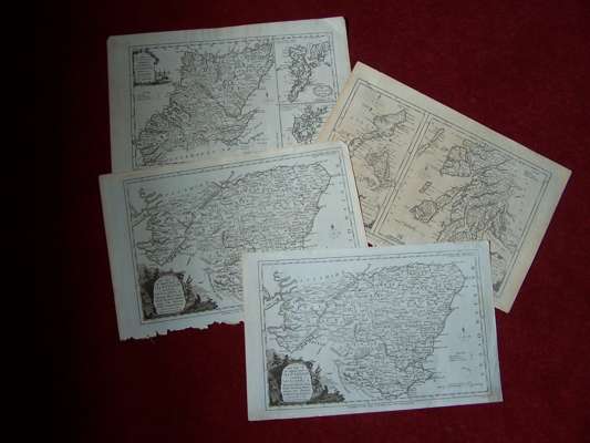
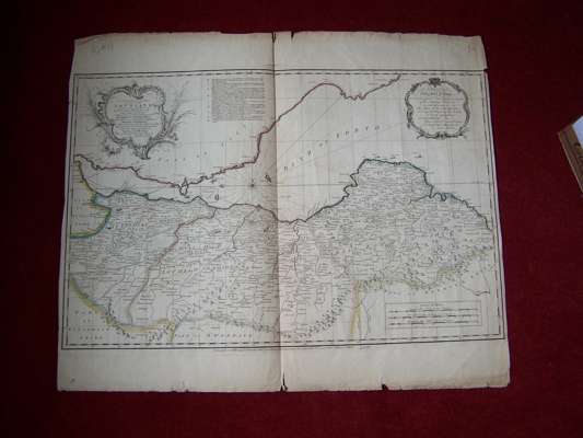
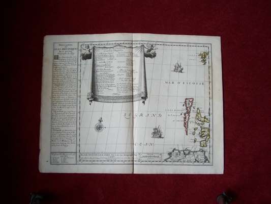
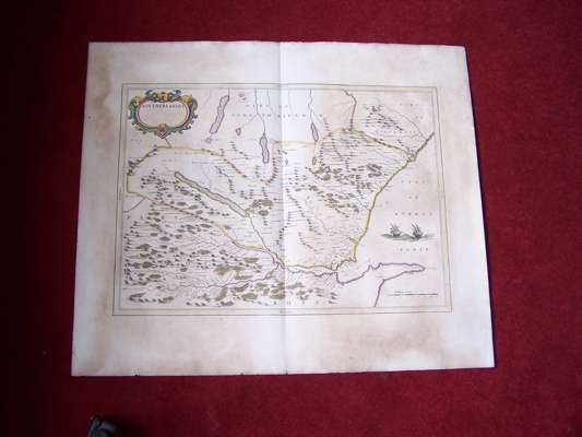
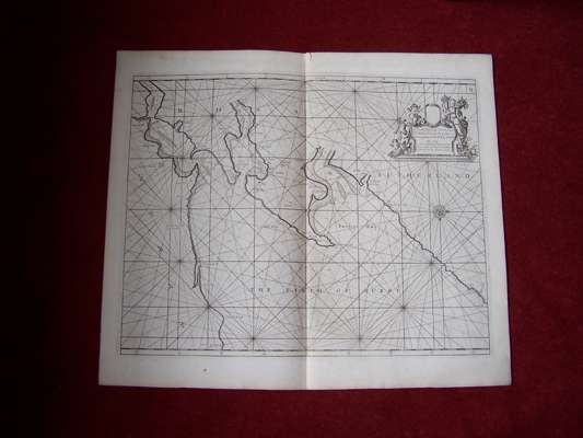
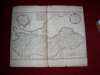
A compleat and exact map of the Lothians. London, 1745, 68 by 56cm high, hand coloured in outline, previous folds, some small tear to edges [no loss]; Du Val, Pierre Les isles Hebrudes et de Fero. Paris, c.1680's, 60 by 47cm high, hand coloured in outline, previous fold, some creasing; Blaeu, J. Southerlandia. Amsterdam, 1654, 66 by 55cm high, hand coloured in outline, previous fold, browned; Collins,Capt. G. The firth of Murry. [London?], 1689, 62 by 53cm high, uncoloured, previous fold; and 8 other uncoloured maps of Scottish counties (12)