Glasgow--Meikleham, Edward
£260
Auction: 16 May 2008 at 12:00 BST
Description
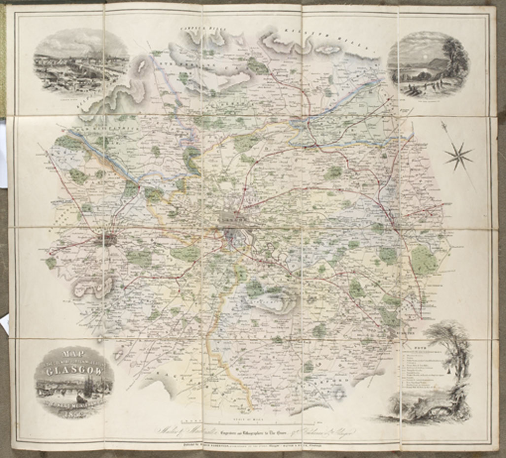
Map of the country for ten miles round Glasgow. Glasgow: David Robertson & Edinburgh: Oliver & Boyd, 1852. Hand-coloured engraved map, with engraved vignettes at the corners, dissected and backed on linen, 60.5 x 66cm., cloth covers with paper label on upper cover, paper label somewhat rubbed; Bartholomew, John New plan of Glasgow with Suburbs, from ordinance and actual surverys constructed for the Post Office directory. 1901-1902. Engraved coloured map, dissected and backed on linen, with printed heading "Census of Glasgow 1901", showing the Registration districts, 105 x 123 cm., red cloth folder lettered in gilt (2)