Lot 31
MOLL Herman
Auction: 1 February 2005 at 11:00 GMT
£2,233
Description
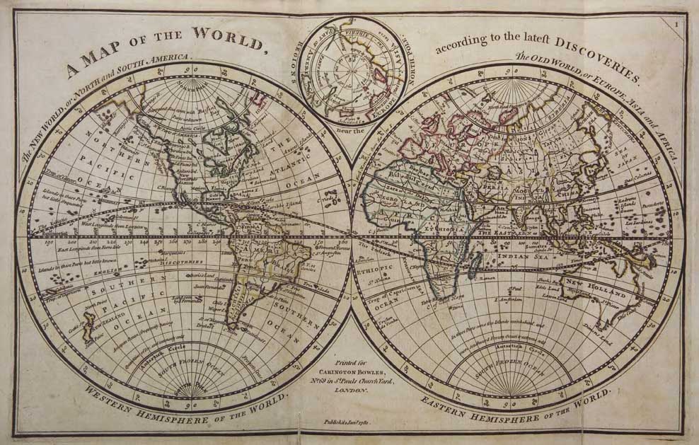
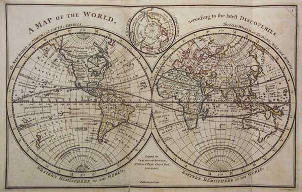
Bowles's atlas minor ... 65 maps, hand coloured in outline, some doublepage and some folding, later half roan, marbled boards, rubbed, some joints of maps strengthened, 4to., London: Carrington Bowles, [n.d., before 1763?]
Note: According to Lister. Moll's Atlas minor was first issued in London in 1729, with later editions appearing as "Bowles's atlas minor." Tooley p. 55 (1729) The world map shows the hypothetical east cost of Australia and Tasmania as joined. The map of North America is decsribed as "a new map ... according to the newest observations", but is not showing the alterations to the boundaries of Carolina, etc. in the light of the Treaty of 1763.