Lot 59
Bouguer, Pierre
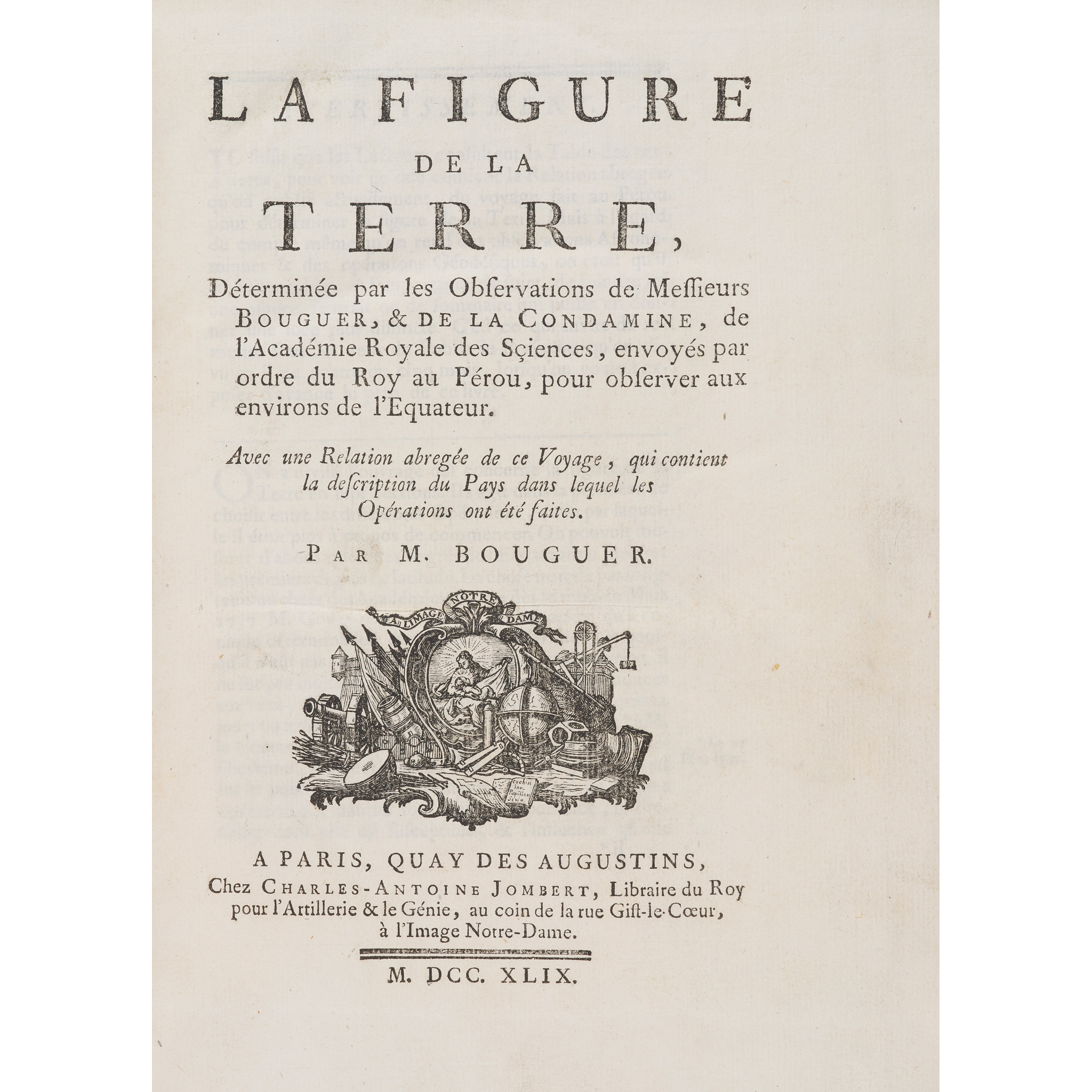
La figure de la terre
The Library of James Stirling, Mathematician
Auction: 23 October 2025 from 13:00 BST
Description
déterminée par les observations de Messieurs Bouguer, et De La Condamine, de l'Académie Royale des Sciences, envoyés par ordre du Roy au Pérou, pour observer aux environs de l'Equateur. Avec une relation abregée de ce voyage, qui contient la description du pays dans lequel les opérations ont été faites. Paris: Charles-Antoine Jombert, 1749. 4to (25.2 x 18.6cm), contemporary sprinkled calf, [24] cx 394 [2] pp., 9 engraved folding plates (including a map of Quito and environs, and a plate containing two profile views of the Cordillera), errata leaf to rear [Norman 285; Sabin 6876]
Footnote
First edition ‘of ’the most important work to issue from the Peruvian expedition of 1735-1744, undertaken … with the goal of measuring an arc of the meridian near the equator, which resulted in the determination of the shape of the earth as an oblate spheroid' (Norman). In addition to the main geodetic programme, Bouguet used the expedition to carry out important work on atmospheric refraction, the dilation of solids at different temperatures, and the measurement of heights using a barometer.
James Stirling himself wrote a paper entitled 'Of the Figure of the Earth, and the Variation of Gravity on the Surface', published in 1735 and considered 'an important contribution to the theoretical study of the earth's shape and its gravitational forces. In this work he was overtaken by Maclaurin, Thomas Simpson, and A. C. Clairaut. It is, however, clear from his correspondence that he would have contributed substantially more but for his commitments at Leadhills' (ODNB).