Lot 109
Du Halde, Jean Baptiste
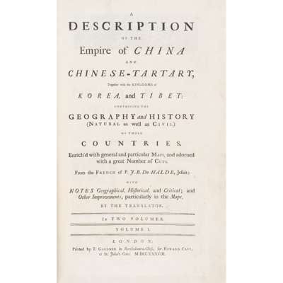
A Description of the Empire of China, and Chinese-Tartary

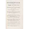

The Library of James Stirling, Mathematician
Auction: 23 October 2025 from 13:00 BST
Description
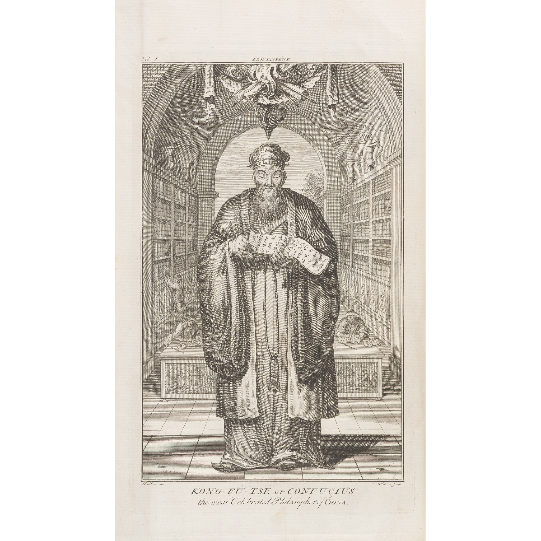
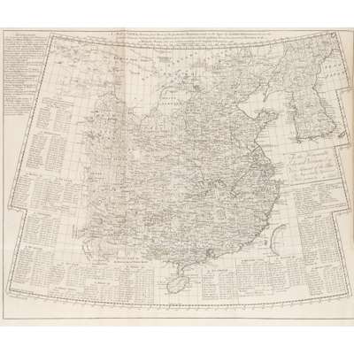
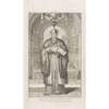
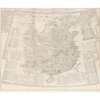
together with the Kingdoms of Korea, and Tibet … With Notes Geographical, Historical and Critical; and Other Improvements, particularly in the Maps, by the Translator. London: by T. Gardner, for Edward Cave, 1738-41. 2 volumes, folio (40 x 24.6cm), contemporary sprinkled calf, spine-compartments ruled in gilt, morocco labels, edges sprinkled red, [4] xi [4] ii-xii 678, [4] 235 [1] 245-388 [10] pp., 64 engraved maps and plates (most of them folding), volume 1 with old oil-stain to inner margins of general map (bound facing title-page) and sigs. O1-2, plate of Confucius (listed to face p. 415) bound as frontispiece, plate 26 ('Plan of the Que tse-Kyen, listed to face p. 295) bound facing p. 660, volume 2 4H1 with extensive closed tear down fore margin, engraved music plate with short nick to fore margin, ‘The Observatory at Peking’ plate with tear to fore margin (one extending into image), a2 (index) with closed tear in text [ESTC T148343]
Footnote
Second edition in English, greatly improved from the first of 1736, which was in four octavo volumes and contained 19 maps and plates only. The work was originally published in French at The Hague, also in 1736.