
Lot 53
Lewis, Meriwether and William Clark
Travels to the Source of the Missouri River and across the American Continent to the Pacific Ocean


Auction: 19 September 2024 from 10:00 BST
Description
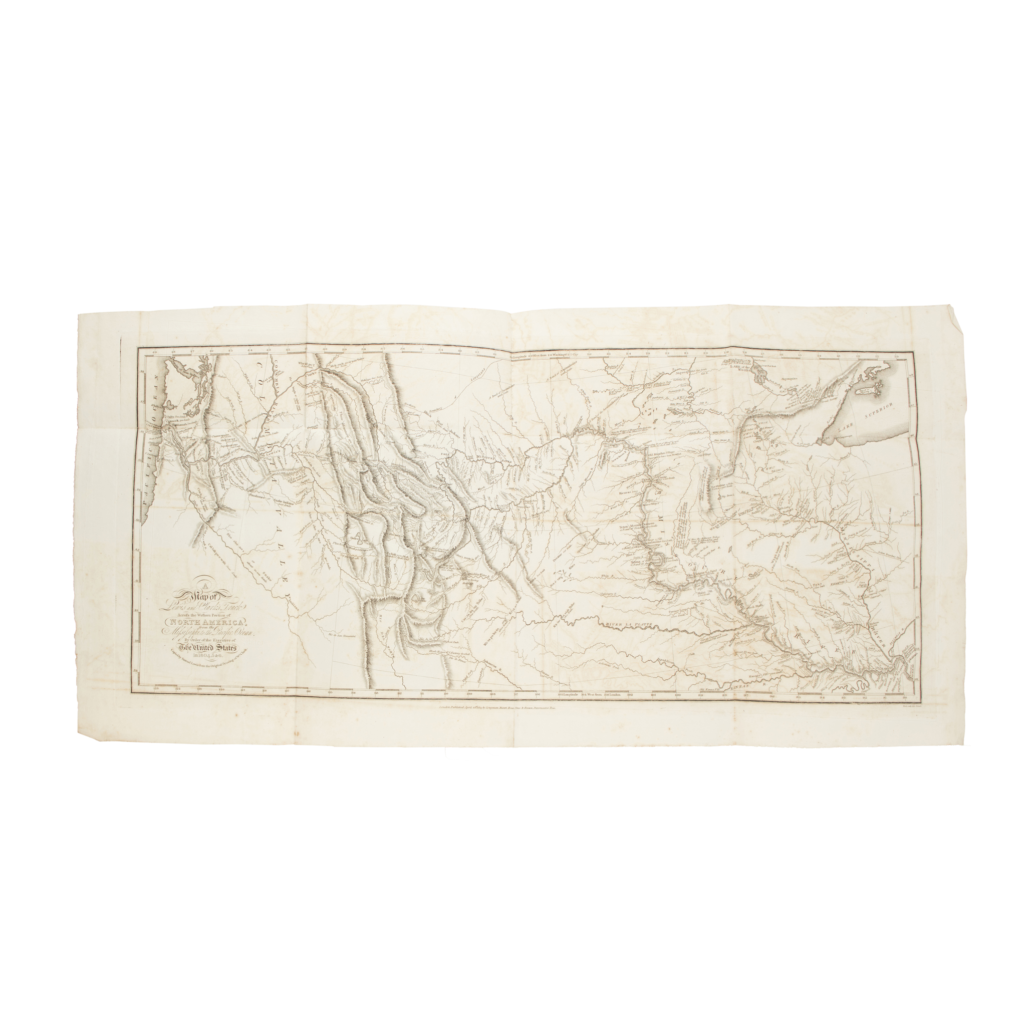
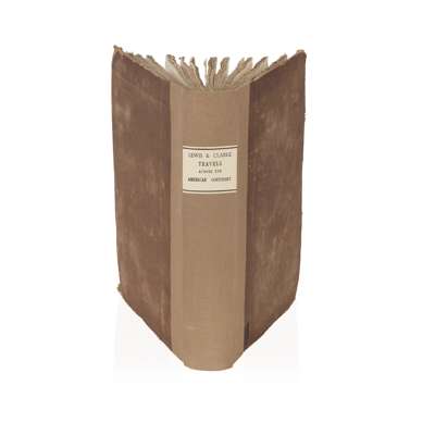
London: Longman, Hurst, Rees, Orme, and Brown, 1814. 4to, half-title, large folding map opposite the title-page and four maps on three sheets, contemporary boards with later cloth spine and label, lacking 4pp. of publisher's adverts at the front and 15pp. of publisher's adverts at the rear, endpapers renewed, some offsetting present on map and plates, pp.309-10 with closed tear
Footnote
The controversial Louisiana Purchase in 1803 - whereby the United States purchased the territory of Louisiana (comprising a stretch of land from today's Montana to Louisiana with Colorado to the West and Missouri to the East) from the French - nearly doubled the size of the country. The cost of the transaction was $15,000,000, around $18 per square mile. Control of the entire area was taken over by the United States, including large areas of the country which was inhabited - and managed - by Native Americans, who had never themselves ceded the land.
Following the Purchase, President Thomas Jefferson commissioned an expedition to explore the territory and report back in as much detail as possible. A primary aim was to find a new travel route across the country, ensuring an American presence in the area before other colonial powers took advantage of the area and tried to establish their own footholds. The Lewis and Clark Expedition - alternatively known as the Corps of Discovery Expedition - set out from Camp Dubois on the 14th May 1804, crossing the Continental Divide, eventually reaching St. Louis, Missouri, in 1806. They were famously assisted in interpretation and interactions with local tribes by Sacagawea, a Lemni Shoshone woman who accompanied the expedition.
The Lewis and Clark Expedition introduced the United States government to various Native American tribes and how trade with them could be promoted, alongside advising on the viability of the path they followed. Various botanical and zoological specimens were returned to the East Coast, including corn, or maize, grown by Thomas Jefferson at Monticello. It took nearly 10 years for Lewis and Clark to publish their journals, first in Philadelphia in octavo format in 1814 as History of the Expedition under the Command of Captain Lewis and Clark, to the Sources of the Missouri, thence across the Rocky Mountains and down the River Colombia to the Pacific Ocean. Here we find the first British edition, including Neele's highly important folding map, showing the expedition route.


